Multiday trekking tour. Trek through Colombia's most famous mountain area. Climb up a glaciated volcano, hike through a páramo and cloud forest, and see all three of the national park's snowy peaks. Be astounded by the variety of plants, birds and landscapes in this beautiful Andean environment.
Overview
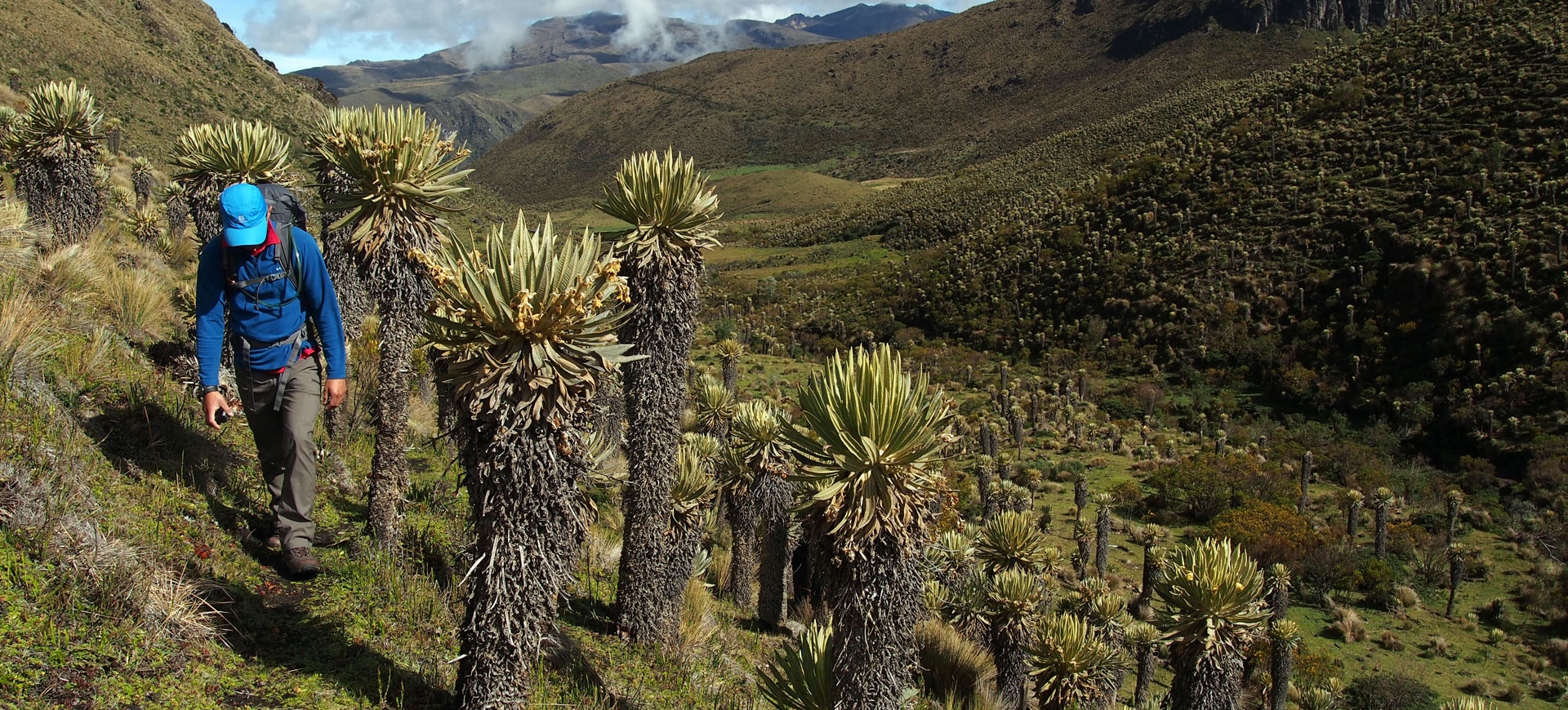
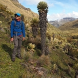
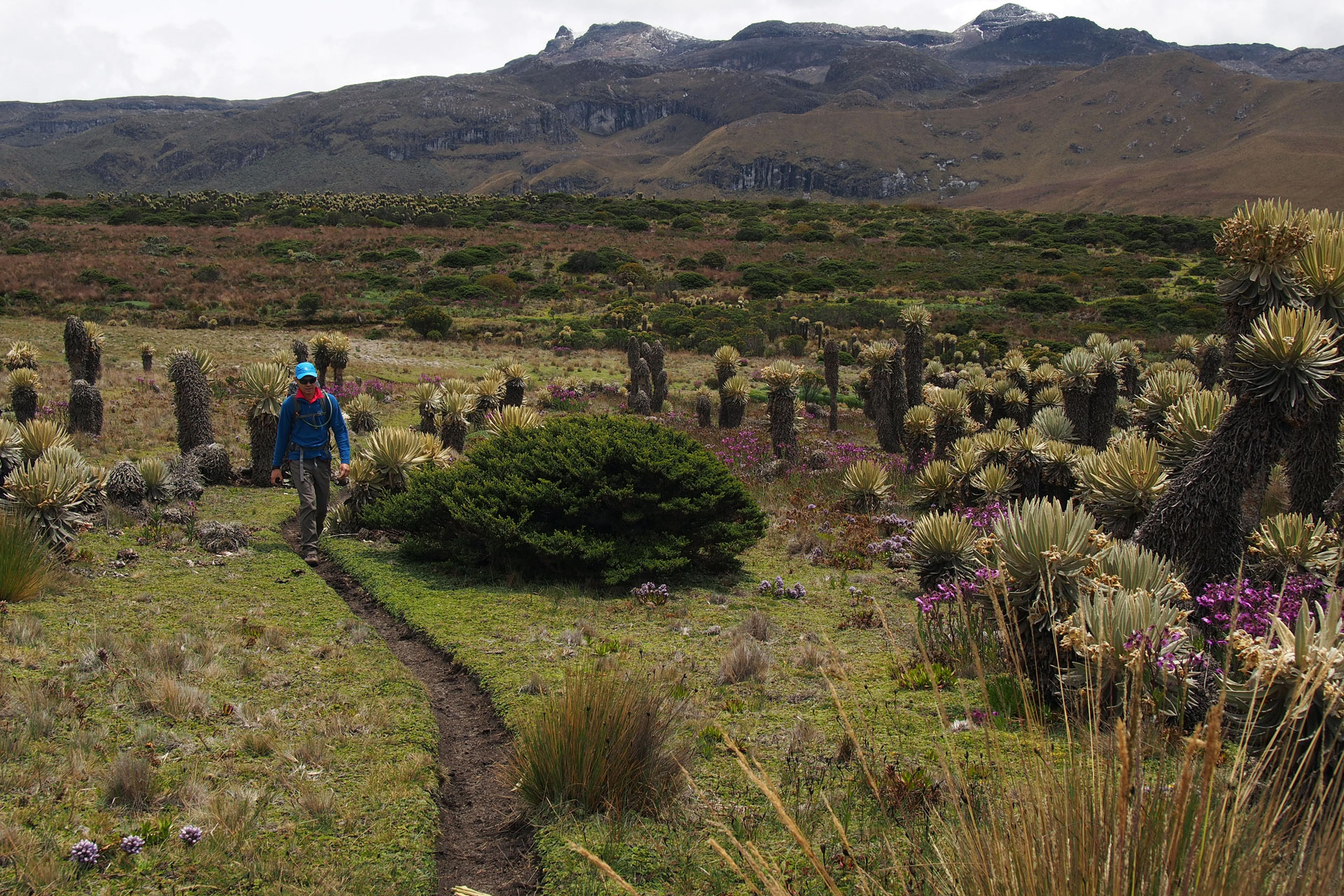
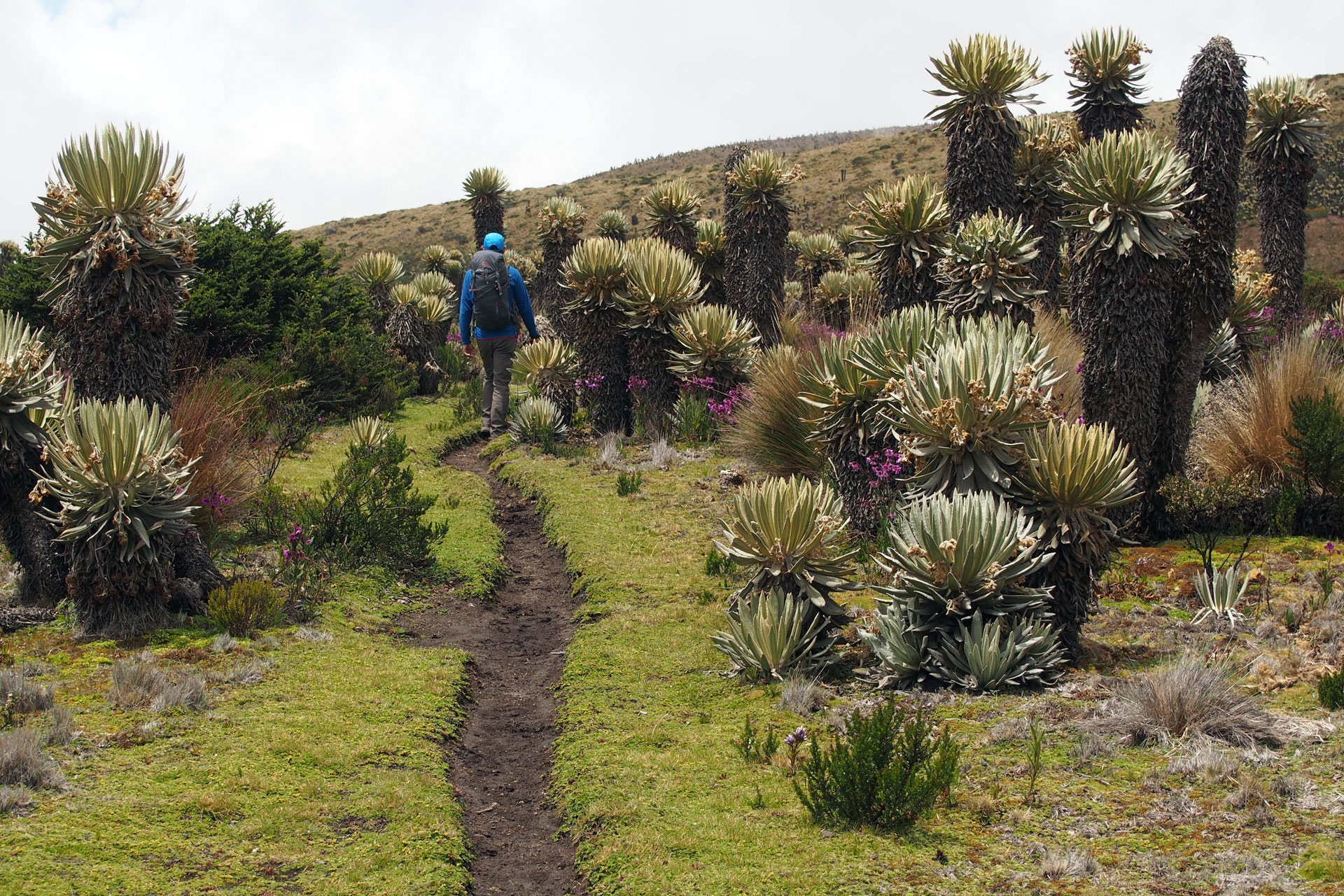
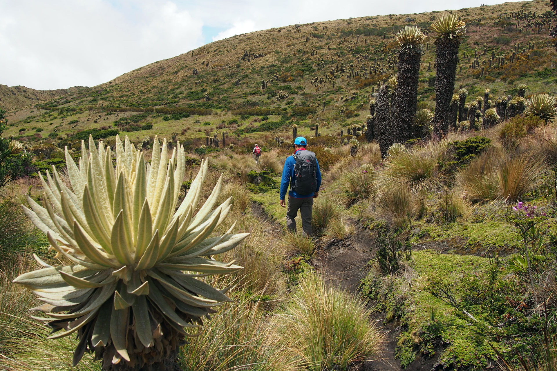
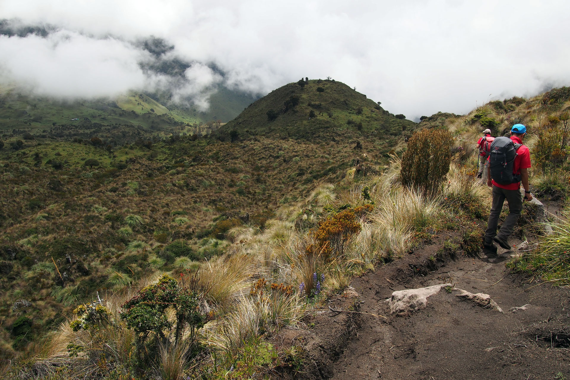
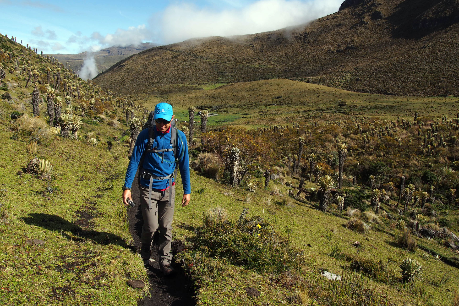
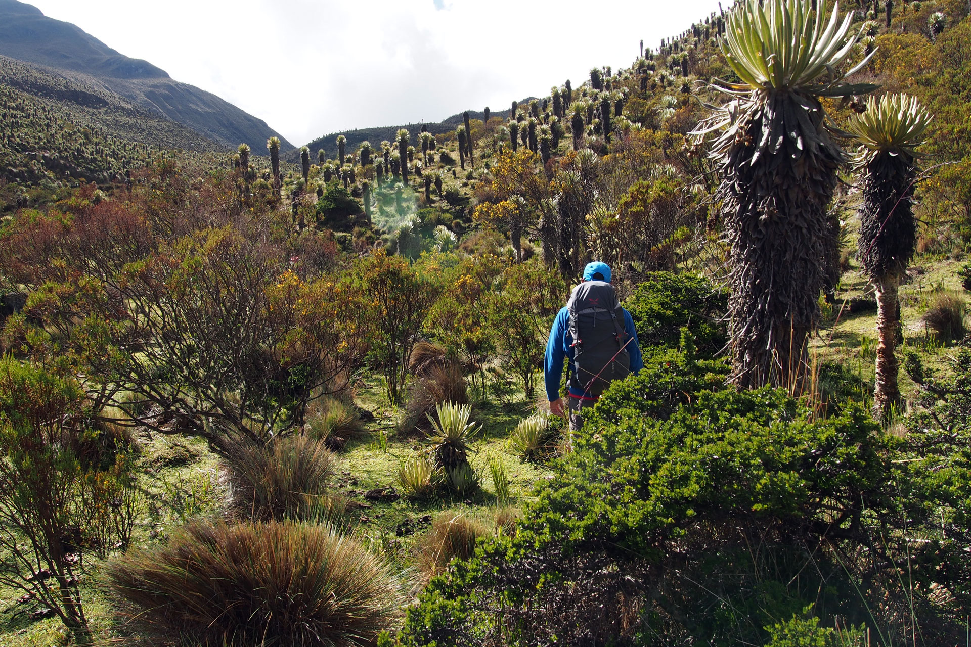
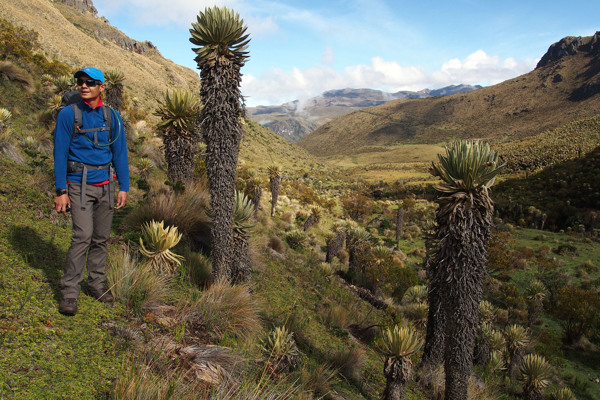
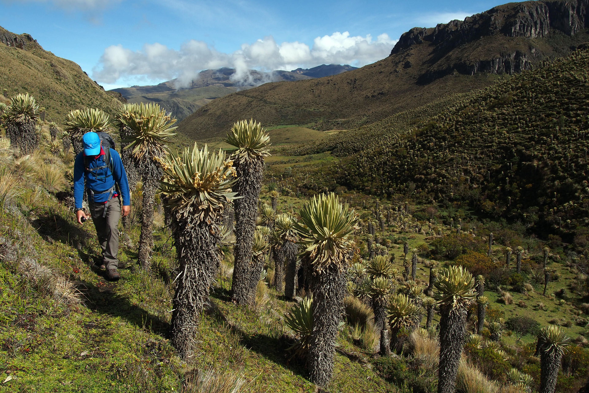
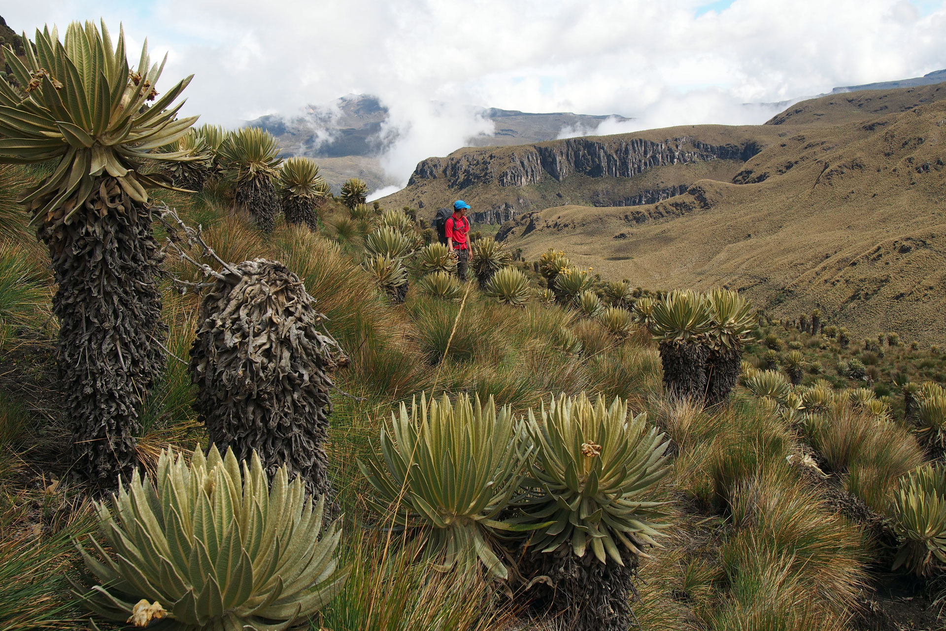
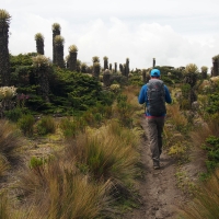
"Los Nevados" refers to Santa Isabel, El Ruiz and El Tolima, volcanoes that are each over 4900 meters (16,076 feet) high and perennially covered in snow and ice. This national park is remarkable not only for having glaciated mountains in the tropics but also for its variety of ecosystems and rich biodiversity. Just below the harsh frozen environment of its highest peaks Los Nevados has the extremely fertile páramo. No English word exists for "páramo" because they are found only in Colombia, Venezuela and Ecuador. Located at elevations of about 3000 to 4000 meters (9840 to 13,120 feet) these humid areas are like sponges, absorbing moisture from the high mountain atmosphere and storing them in succulent plants. Many animals also live in these zones. The páramo of Los Nevados is home to frailejones (cactus-like plants that are said to resemble friars), rabbits, eagles and Andean condors.
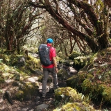
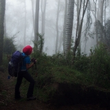
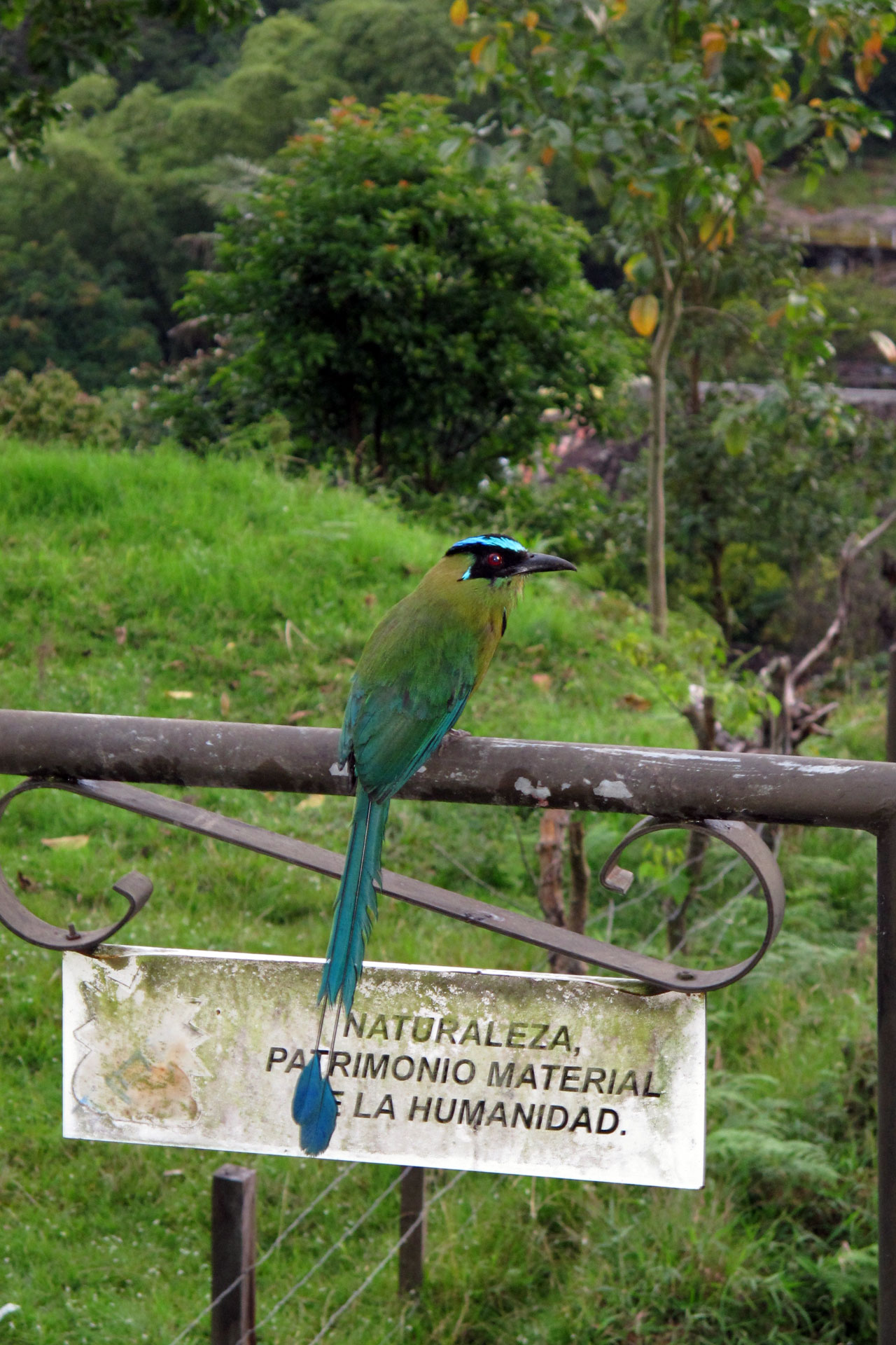
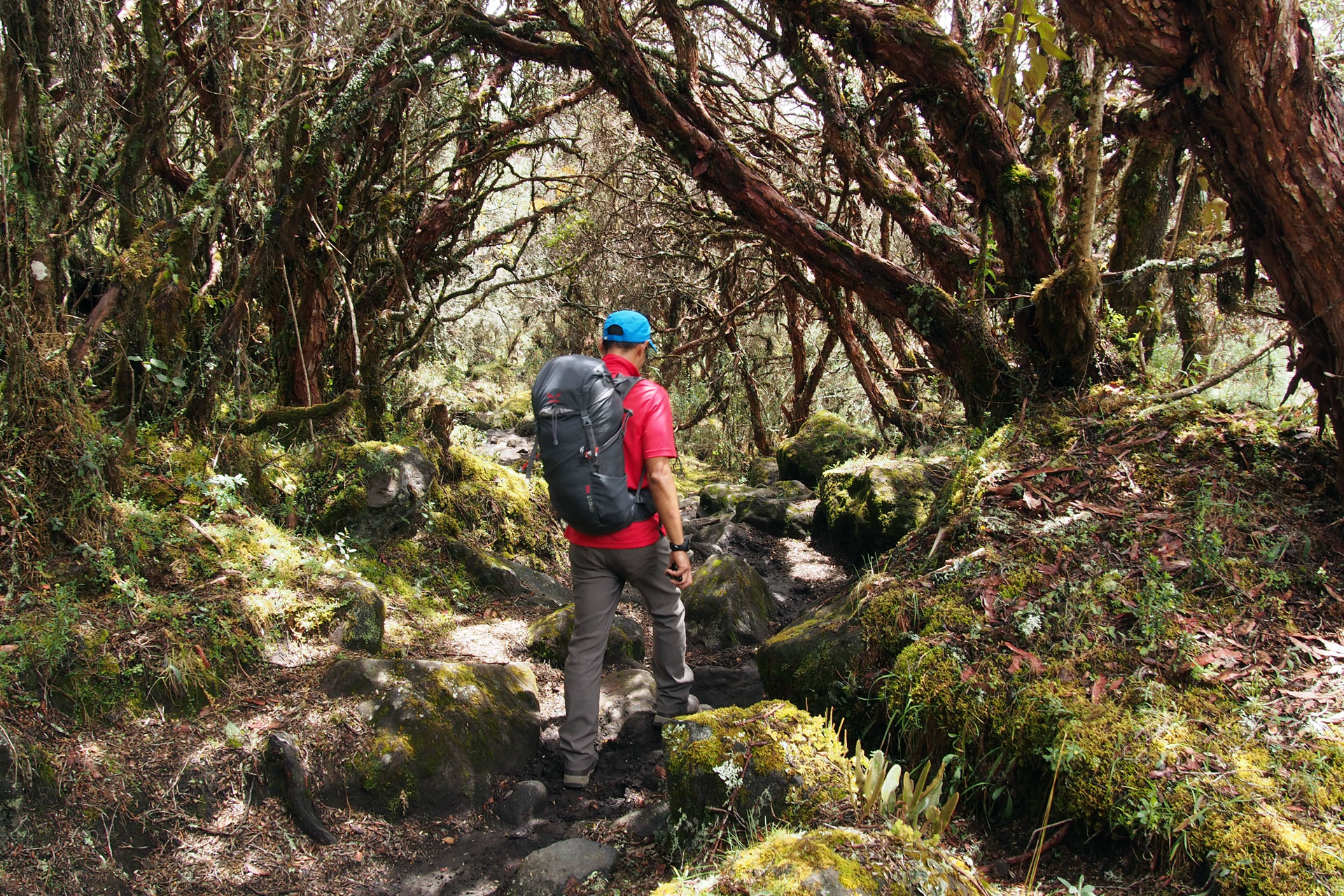
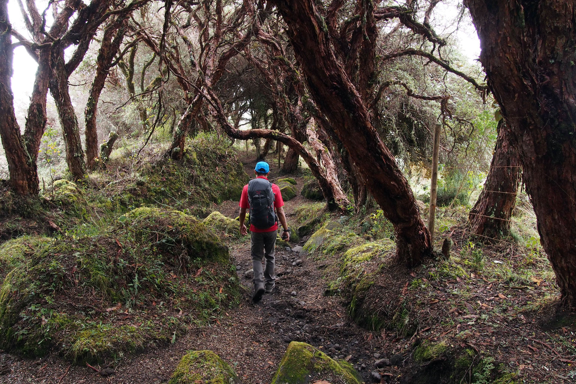
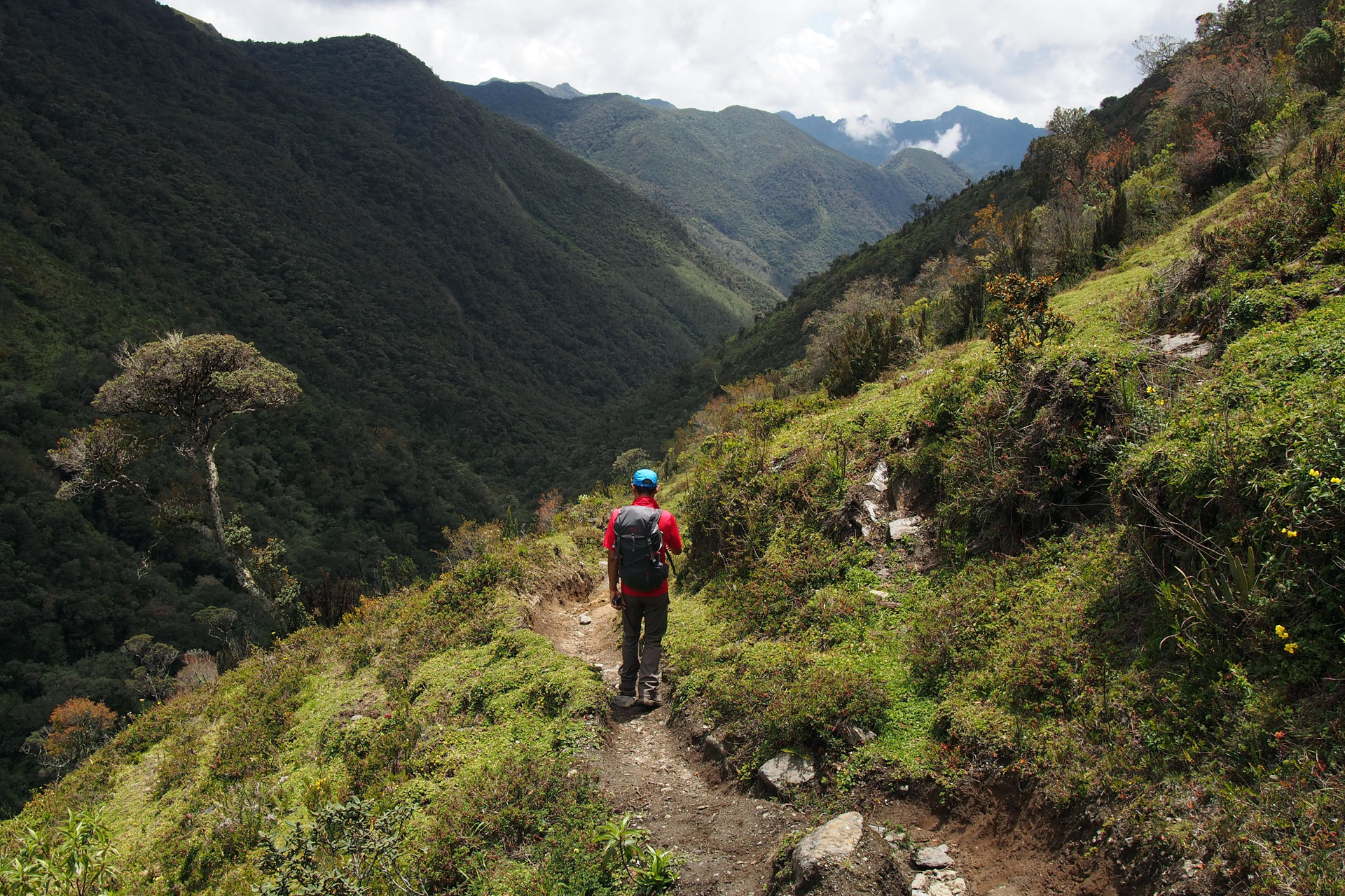
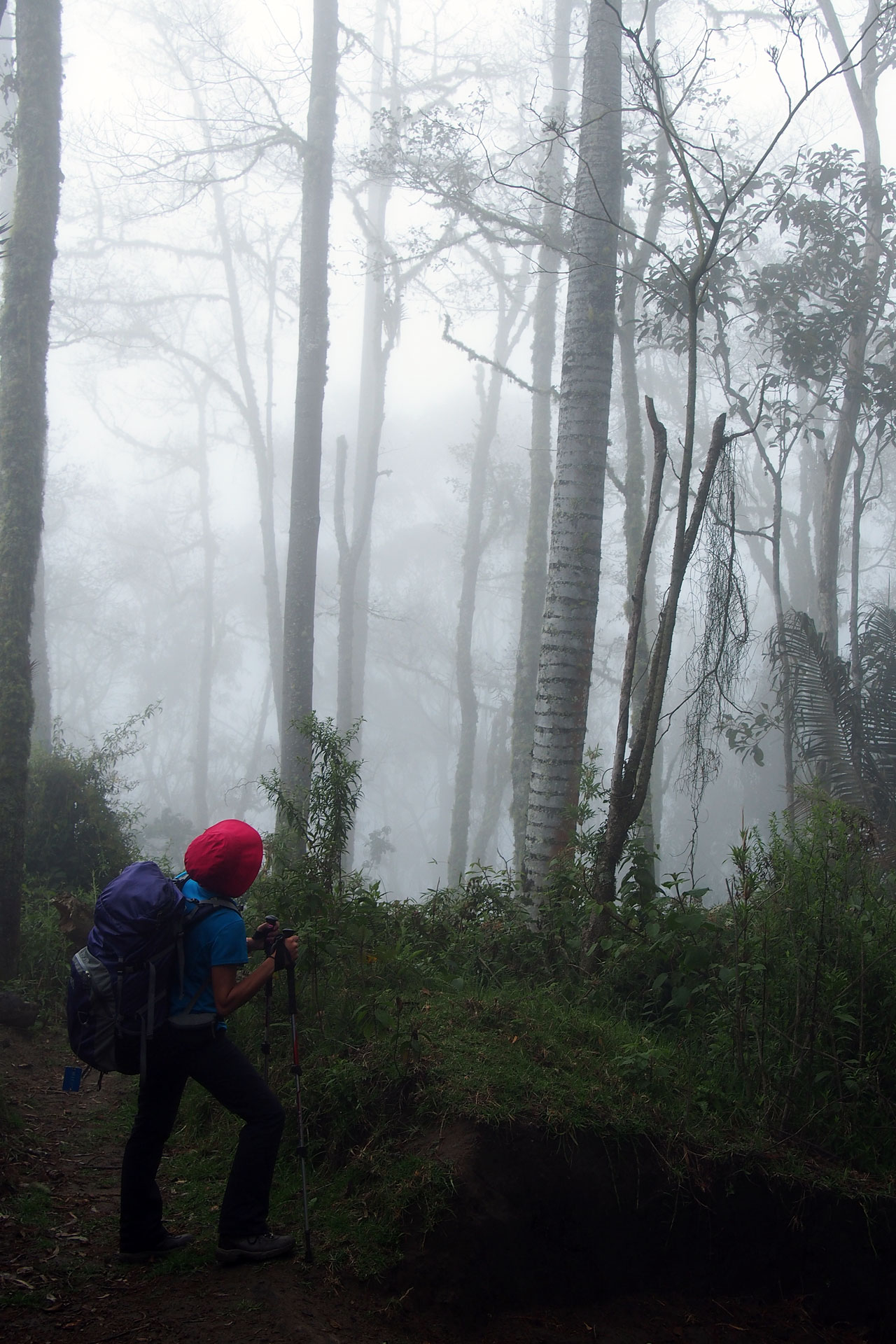
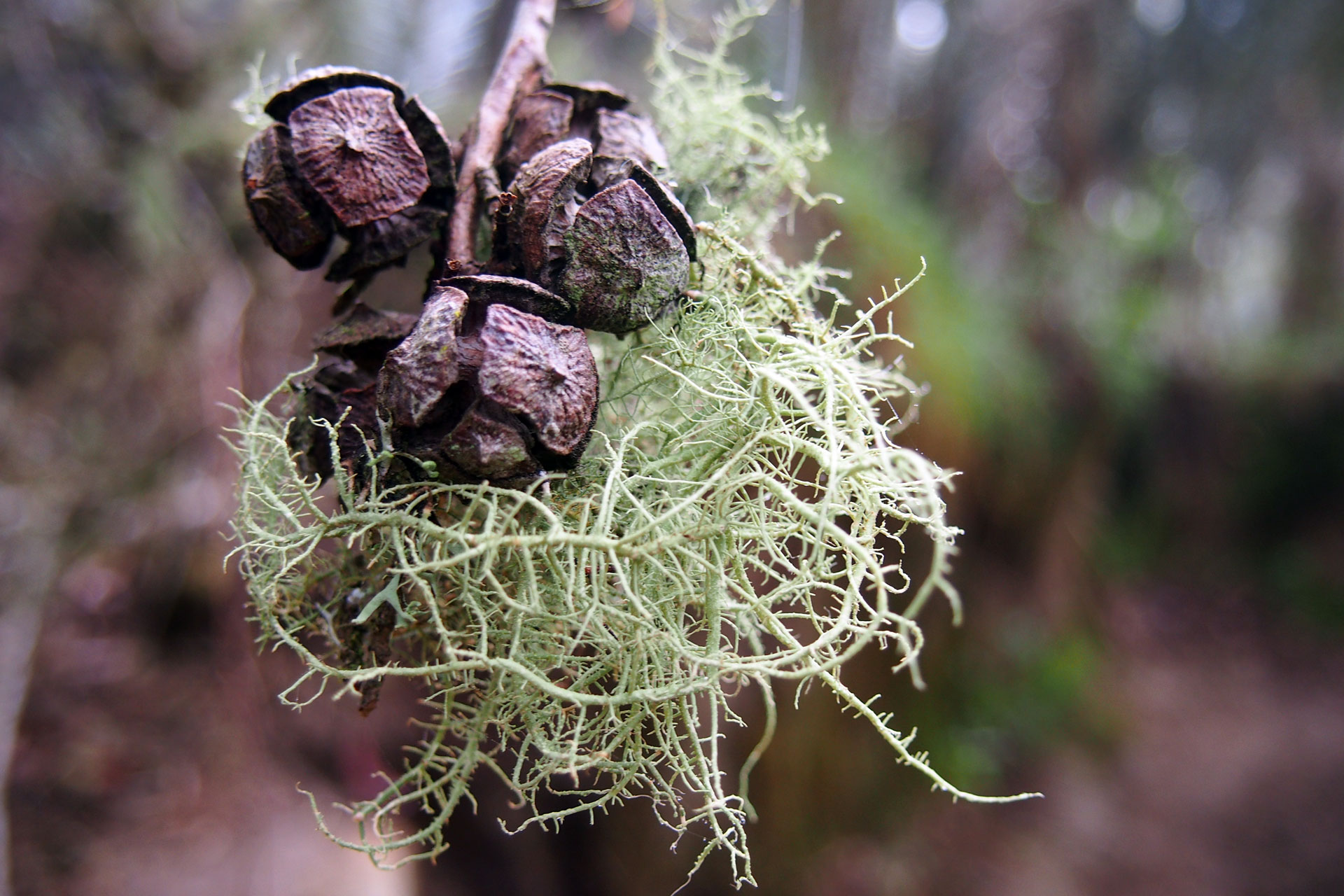
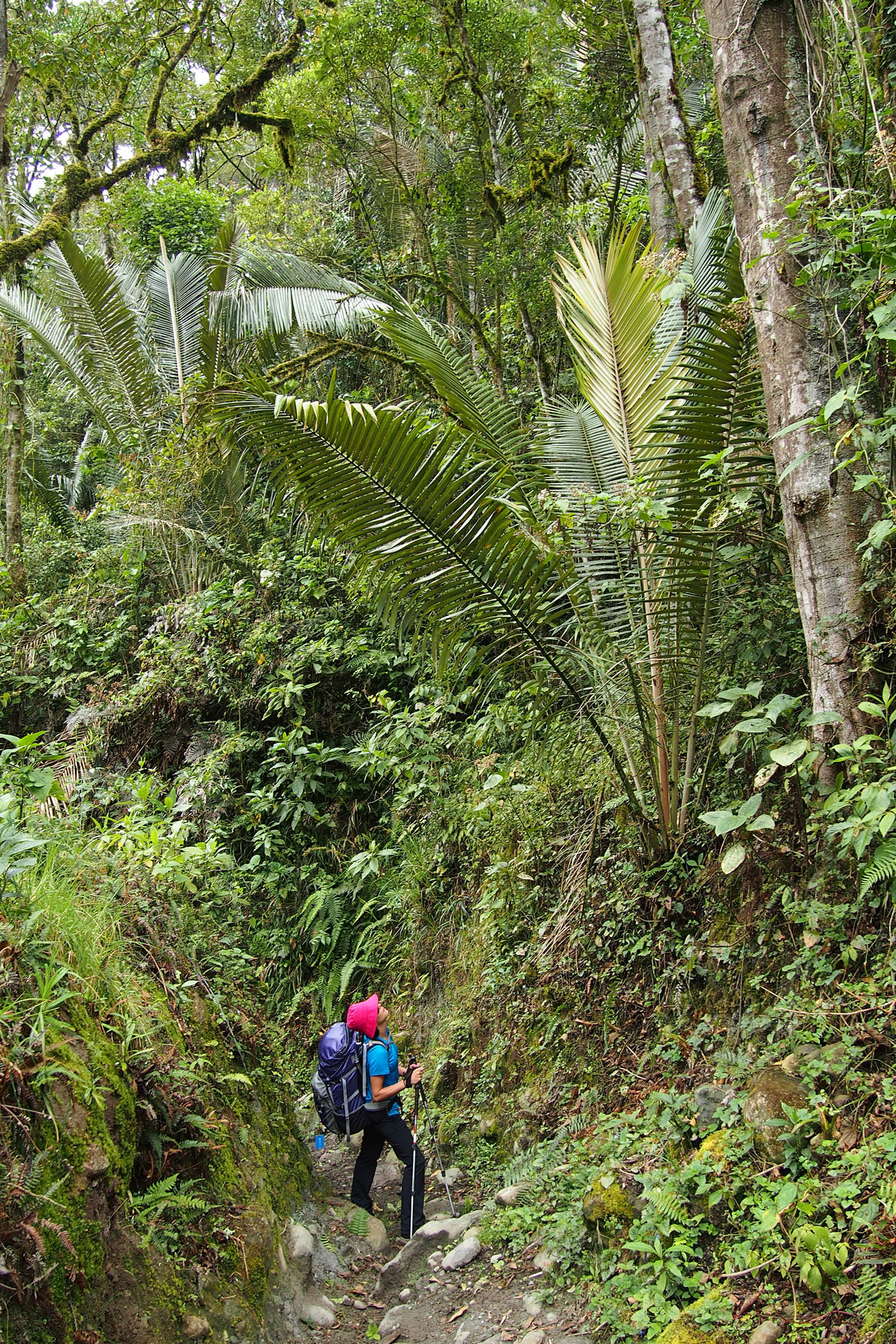
The cloud forest of the park begins where the páramo ends, at just under 3000 meters. There the climate remains cool and moist but squat succulents give way to towering moss-covered trees. A white shroud permeates the forest and gives it an air of mystery that would be eerie were it not broken by birdsong and bright colors. In biodiversity Colombia is first in the world in birds and second in flowers and the cloud forest of Los Nevados explodes with both. The forest is also full of Colombia's national tree. The palma de cera (wax palm) are the tallest palm trees in the world and have wax covered trunks that can grow up to 60 meters (200 feet) long.
In this adventure you traverse Los Nevados from north to south, hiking 41 kilometers (25.5 miles) and crossing three departments. You'll trek through all of the park's different environments and enjoy spectacular sights every step of the way. You'll climb Nevado de Santa Isabel and get views of the other two snowy peaks, El Ruiz and El Tolima. You'll cross icy streams, take breaks at mountain lakes and pass waterfalls tumbling down from sheer rock cliffs. Exotic plants and birds such as the colchon de agua (water cushion) and mountain toucan will welcome you to their home during the day and at night you'll be the guest of Colombian families in their farmhouses. This trek will let you experience the beauty and diversity of Los Nevados National Natural Park to the fullest.
Highlights and activities
- Use mountaineering techniques to climb up Nevado de Santa Isabel (no previous mountaineering experience required).
- Trek through a páramo, a unique environment of glacial lakes and succulent plants.
- See all three snowy peaks of Los Nevados: Santa Isabel, El Ruiz and El Tolima.
- Hike through a cloud forest full of exotic birds and flowers.
- Sleep in quaint mountain farmhouses and get a taste of Andean farm life.
- See Valle del Cocora, home of the tallest palm trees in the world.
 hiking / trekking
Itinerary
-
Day 1: Travel through the Coffee Region
Your adventure starts at the Pereira airport where you meet your guide. Together you drive on scenic mountain roads through the Coffee Region, passing small towns, coffee plantations and farmlands. After an enjoyable drive through the countryside you arrive in El Cisne, a mountain lodge high up within the Los Nevados National Park. You spend the rest of the day doing an acclimatization hike to the nearby Laguna Verde enjoying the high Andean environment.
After dinner your guide gives you a briefing for the big day ahead and you go to bed early for tomorrow's alpine start.
-
Day 2: Climbing Santa Isabel Volcano
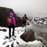
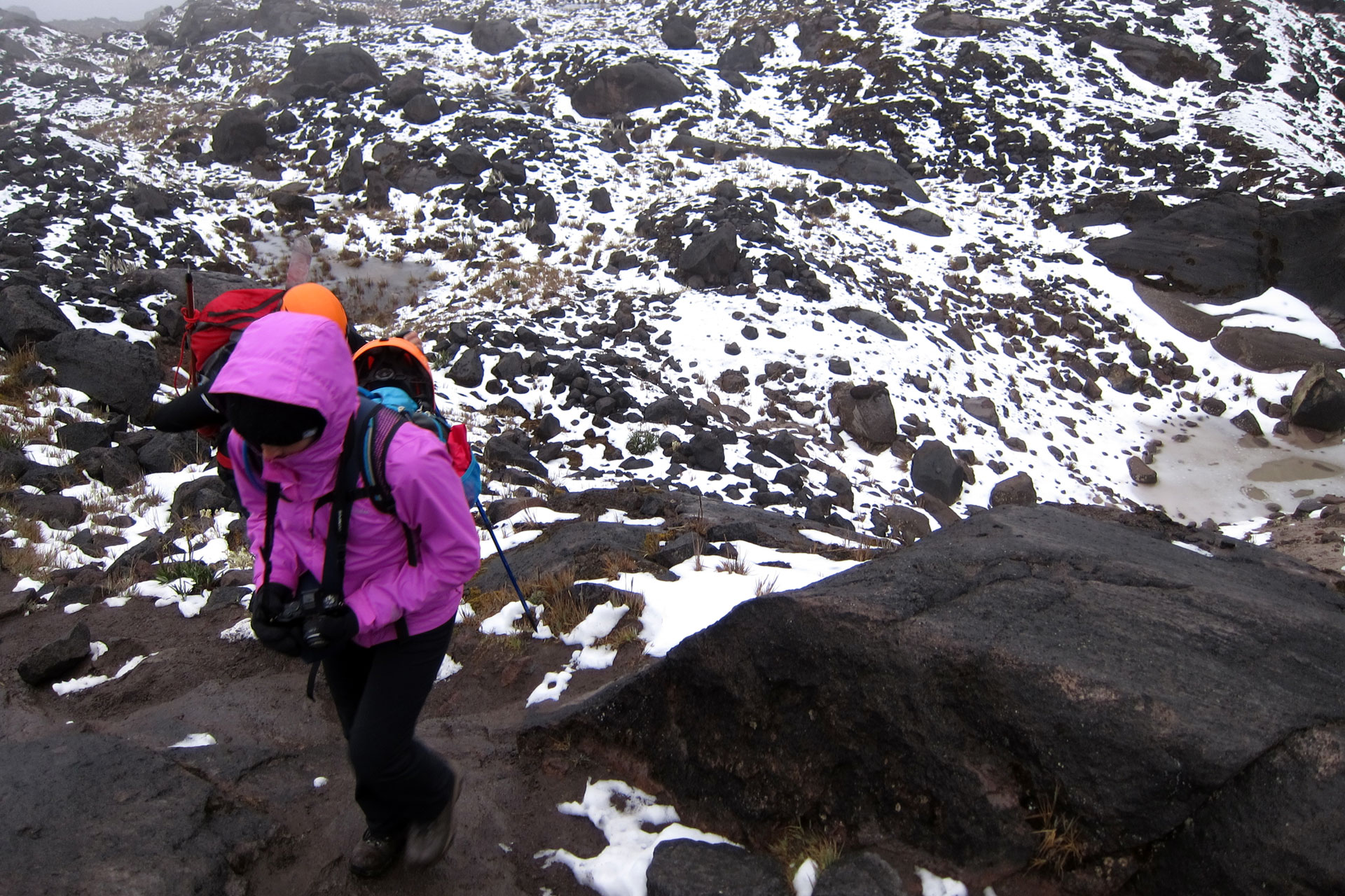
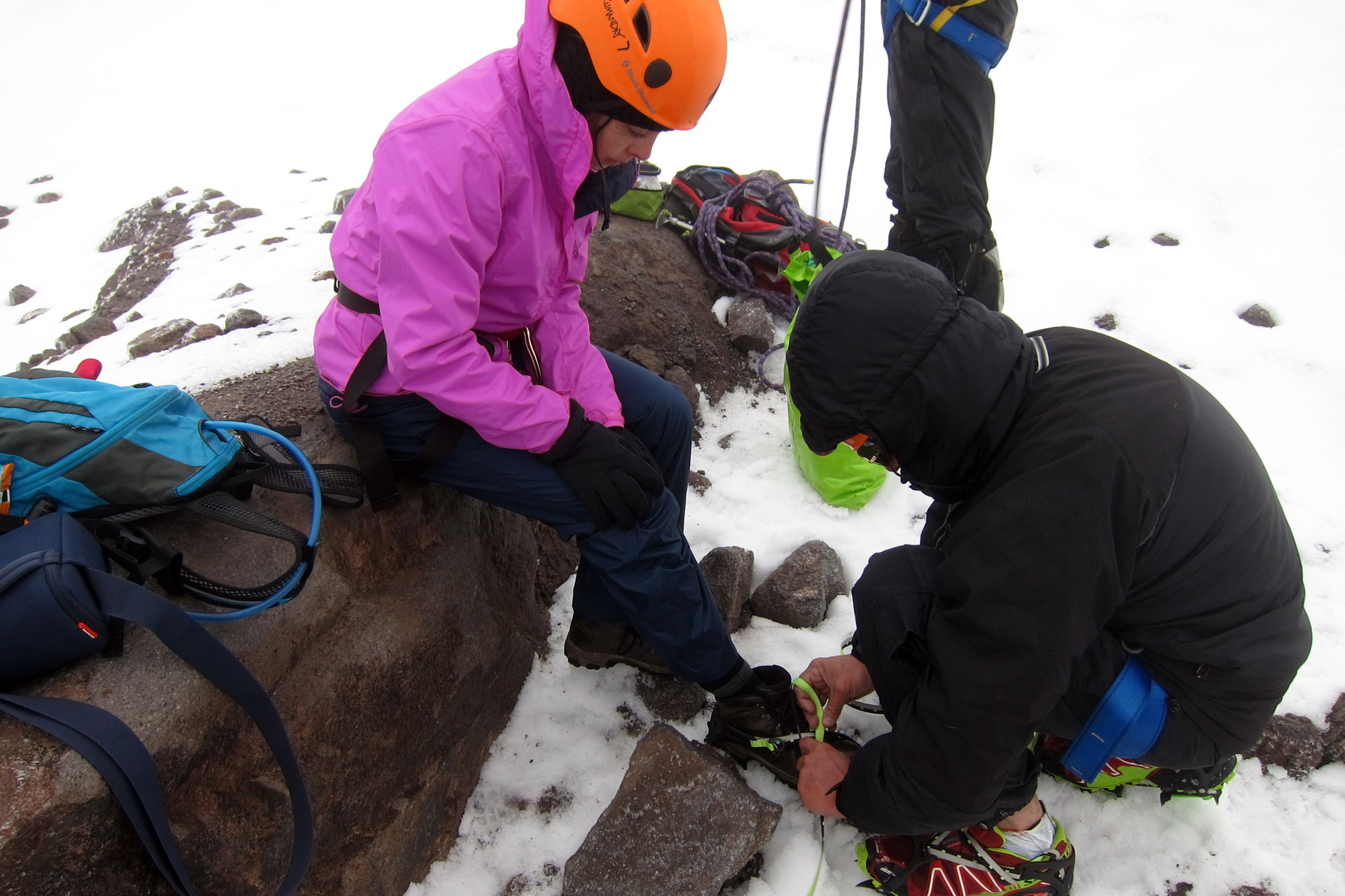
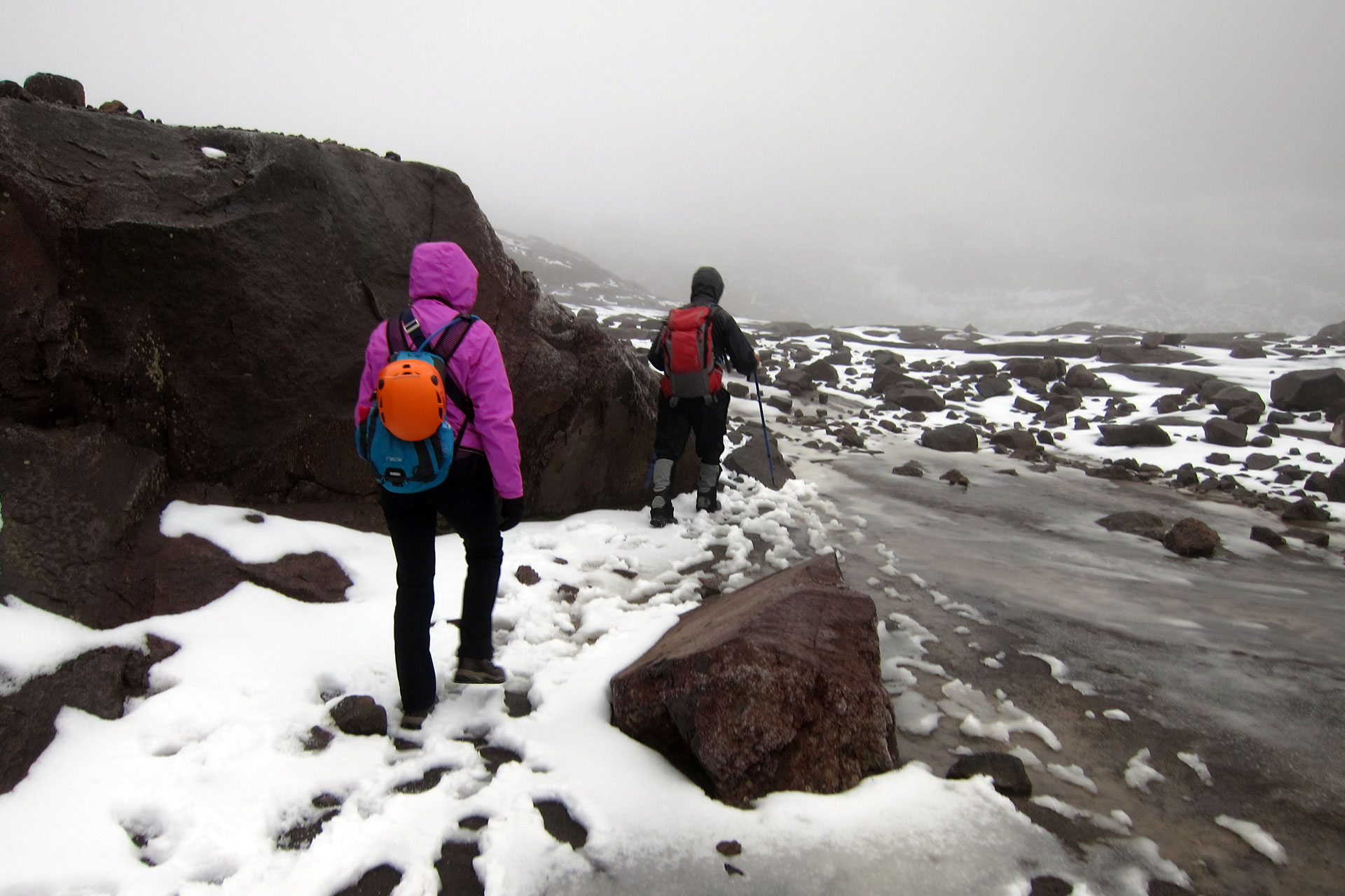
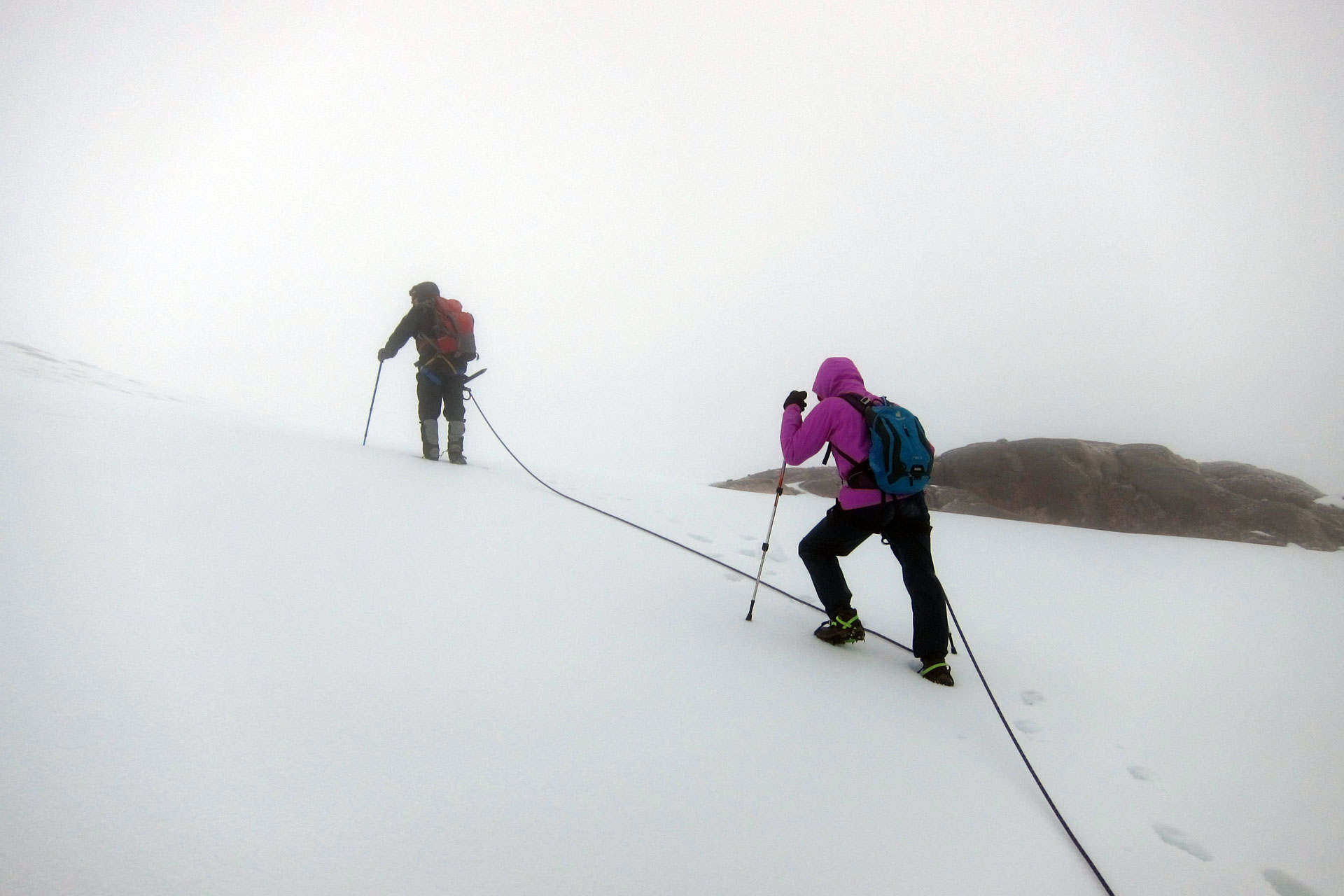
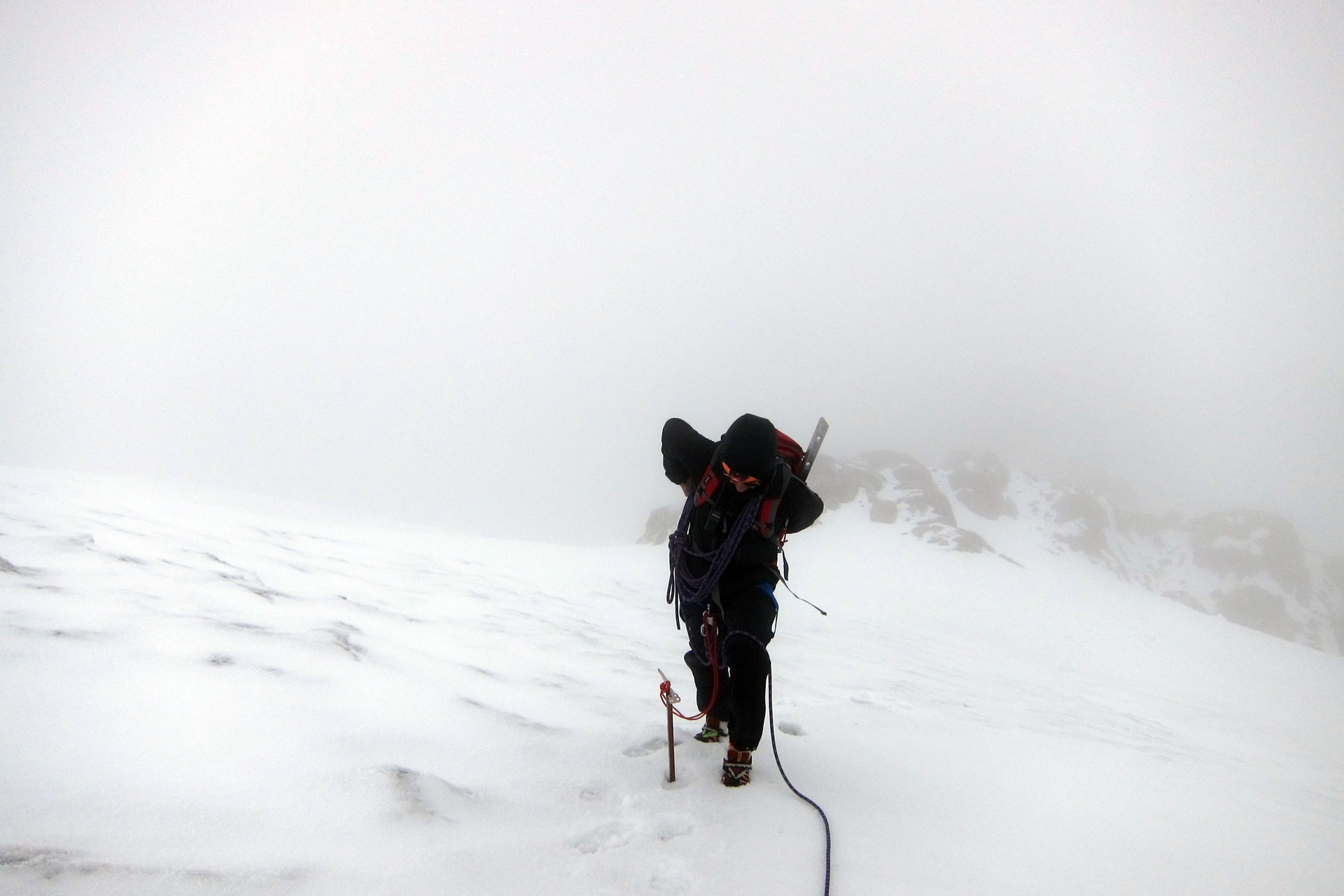
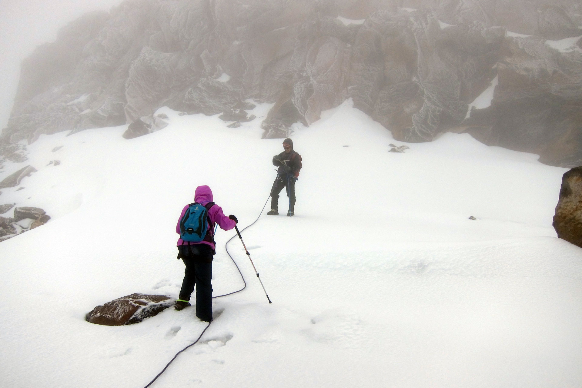
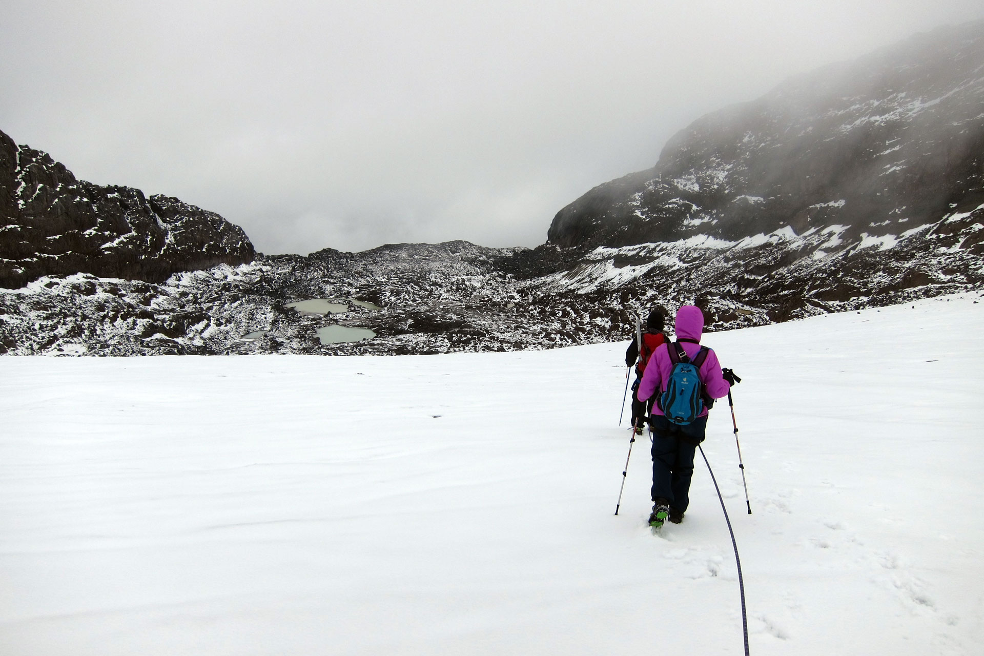
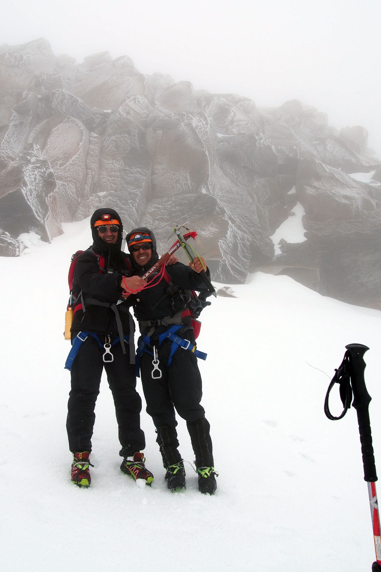
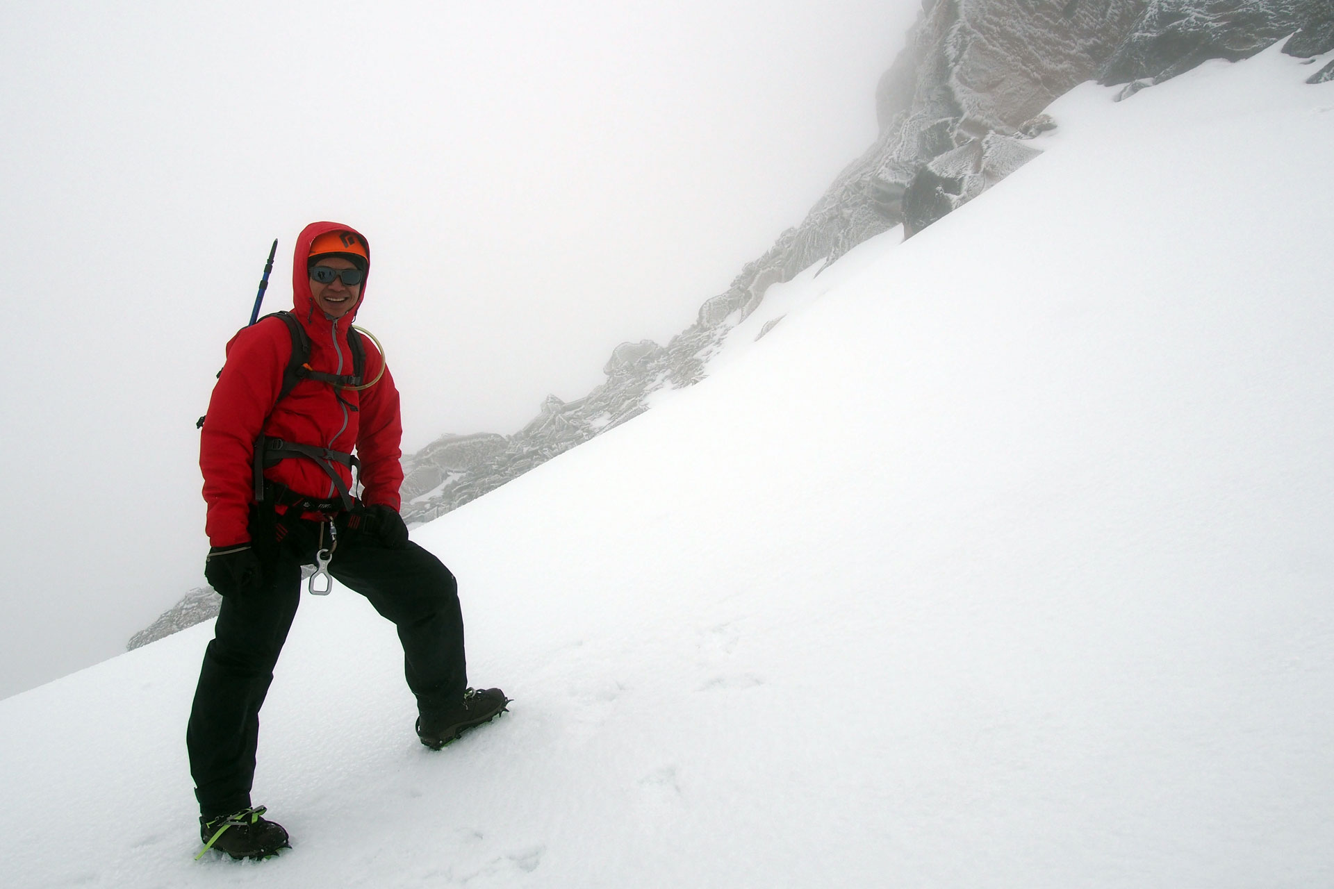
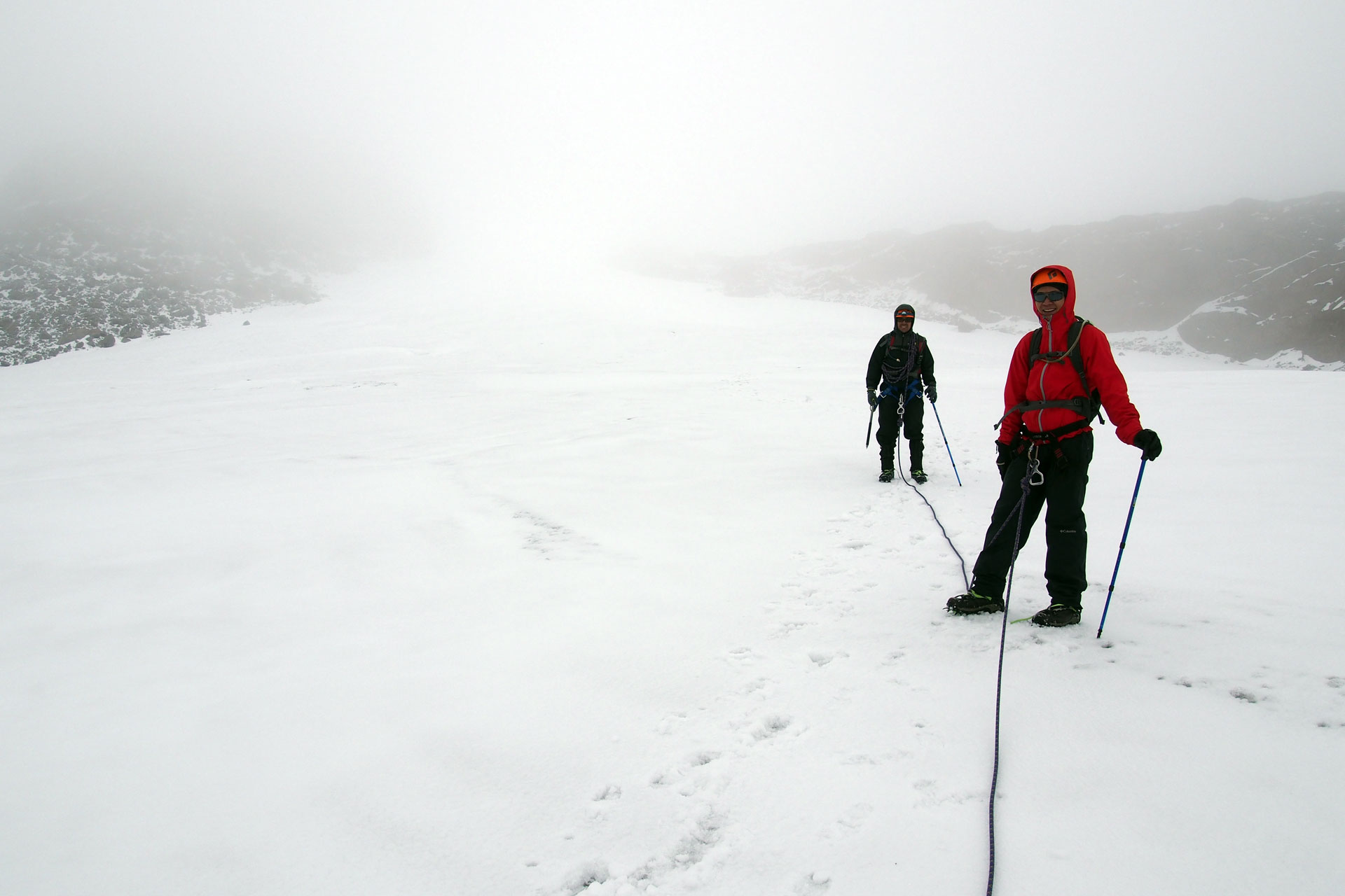
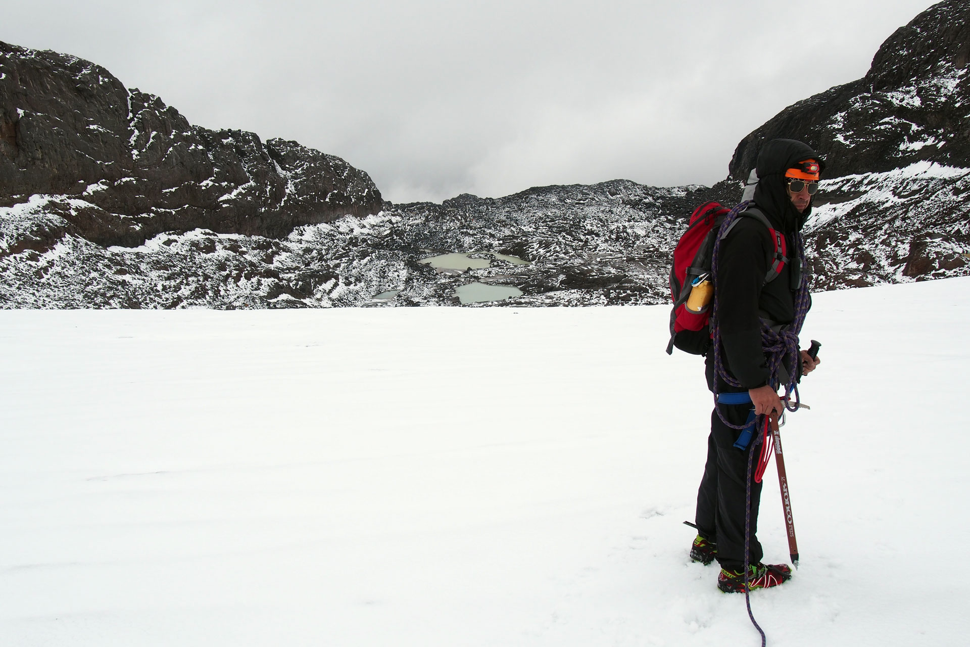
The day begins with breakfast at 2:30AM then you drive to the Nevado de Santa Isabel trailhead at 4000 meters (13,123 feet). The trail ascends immediately and you hike by headlamp light through a highland forest of dwarfed trees, mossy plants and small lagoons. As dawn breaks so does the dense vegetation and you get open views of rock cliffs and mountainsides. Patches of snow appear as you go higher, accentuating the barren but beautiful landscape with white. A collection of glacial lakes sit just below the Santa Isabel glacier and soon after passing them you break out the helmets, harnesses, rope and crampons. The final push up the glacier which starts at 4700 meters (15,420 feet) is the most exciting and most difficult part of the ascent. Your stamina, determination and the weather determine how high you go. The high point is at 4,950 meters (16,240 feet), just a few meters below the true summit which is guarded by a sheer rock wall. If you make it that far you've ascended 950 meters (3117 feet) in 4.5 kilometers (2.8 miles). Congratulations, you've climbed one of the three famous Nevados. Now you need to get back down.
8 to 9 hours after starting you arrive back at the trailhead. Hot food and well deserved rest await you at Refugio Potosi.
-
Day 3: Otun Lake and the Paramo
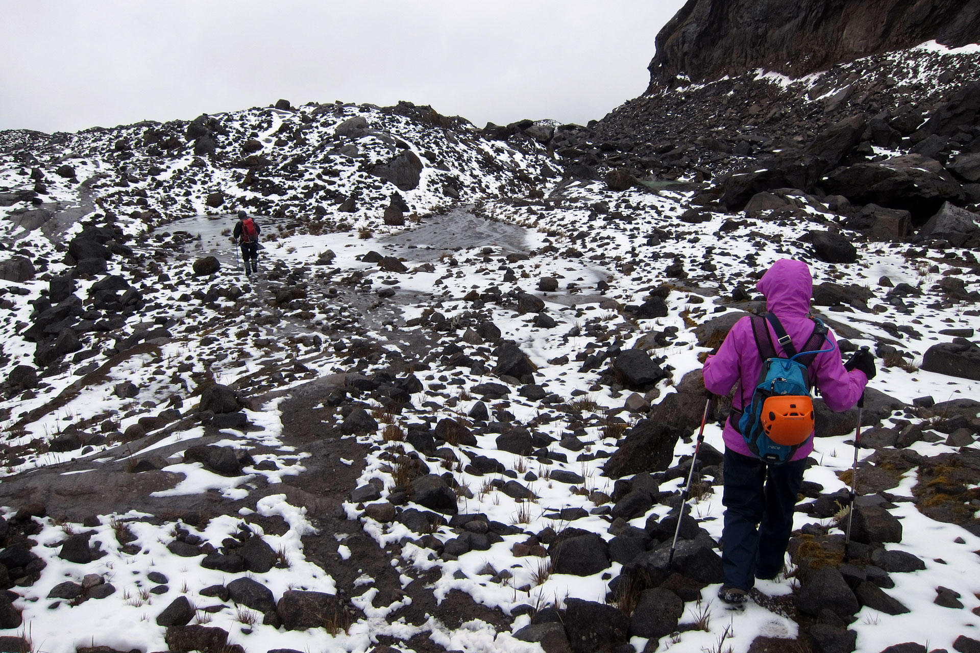
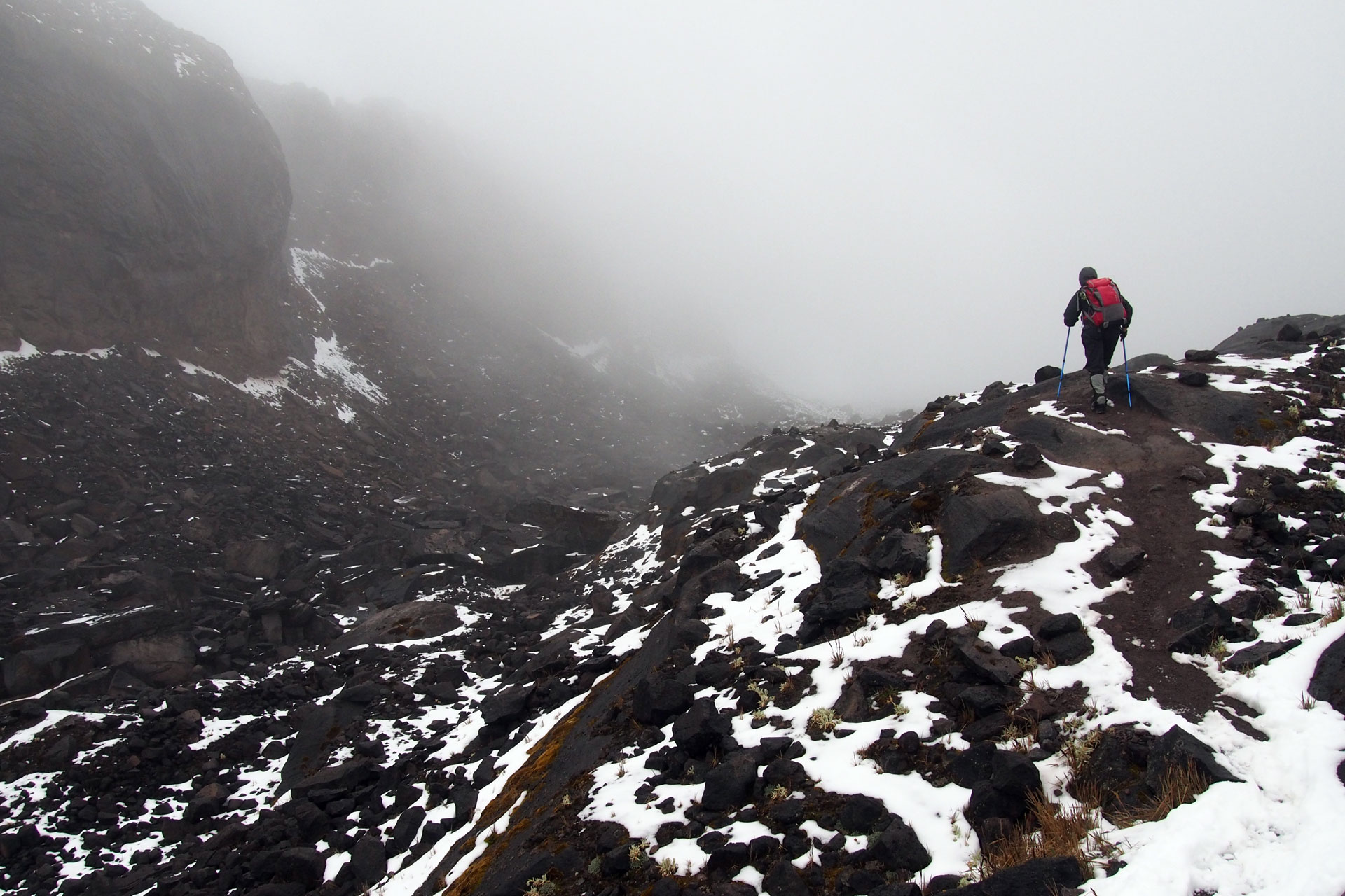
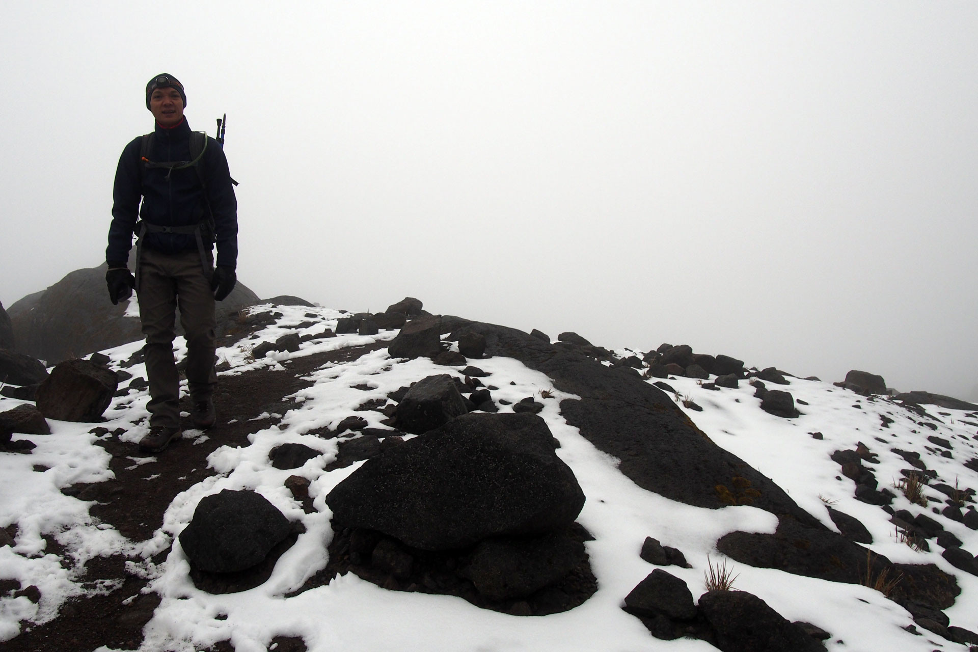
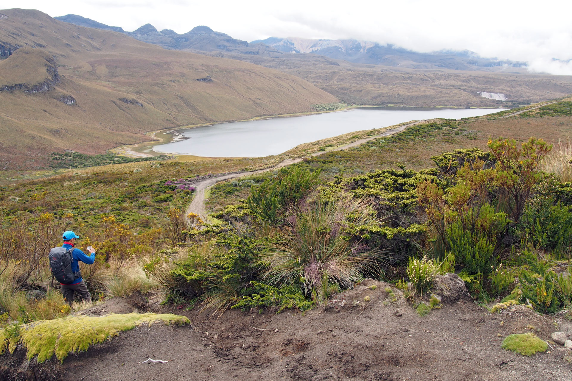
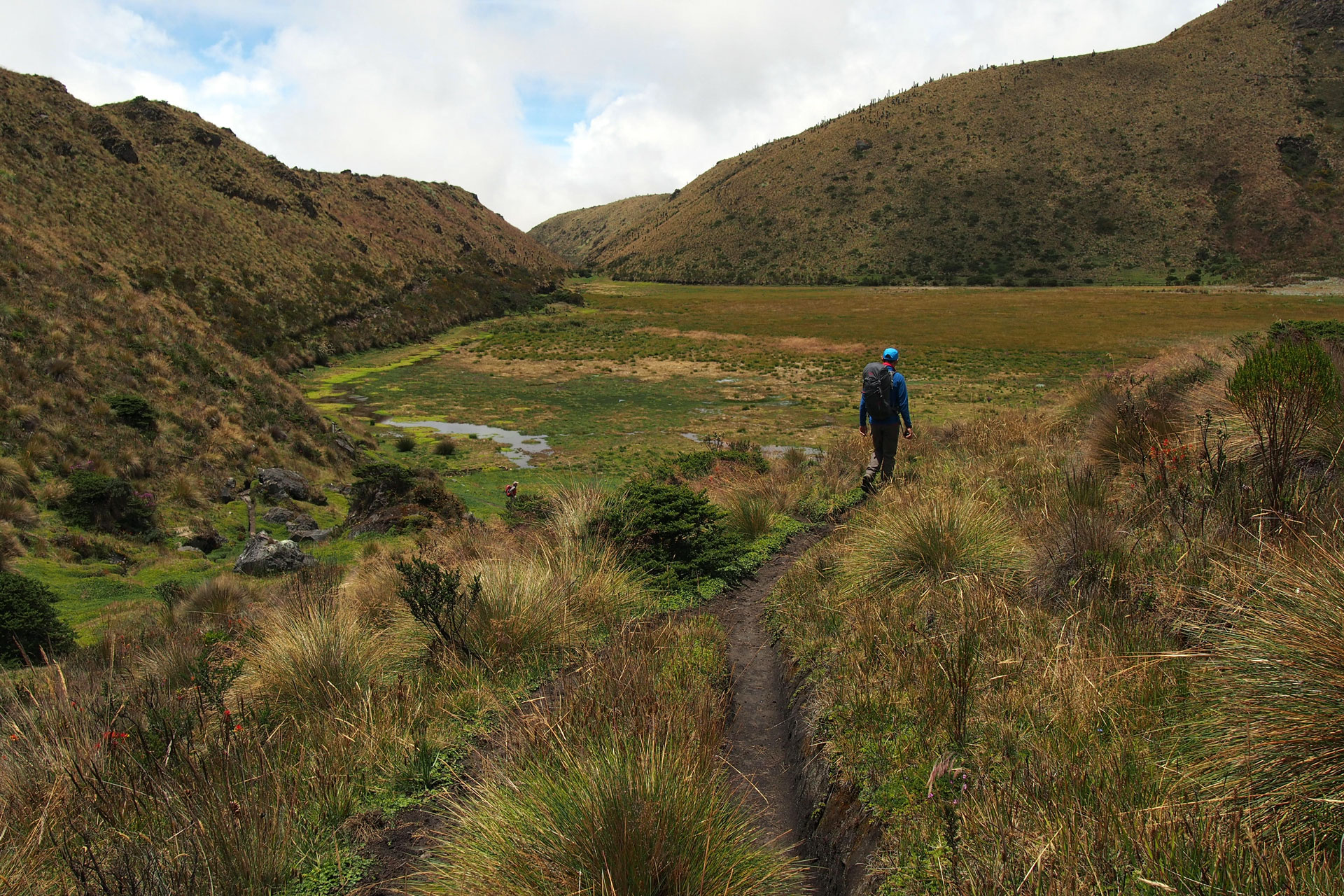
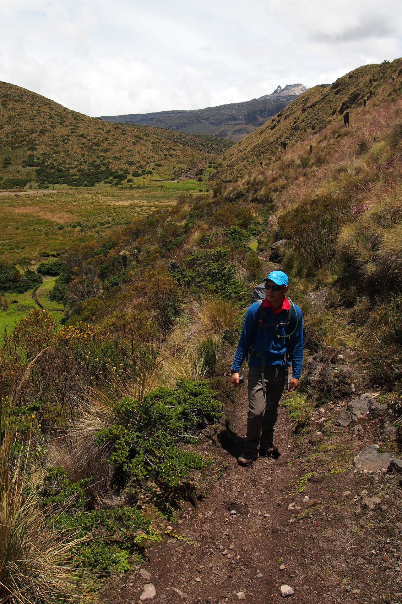
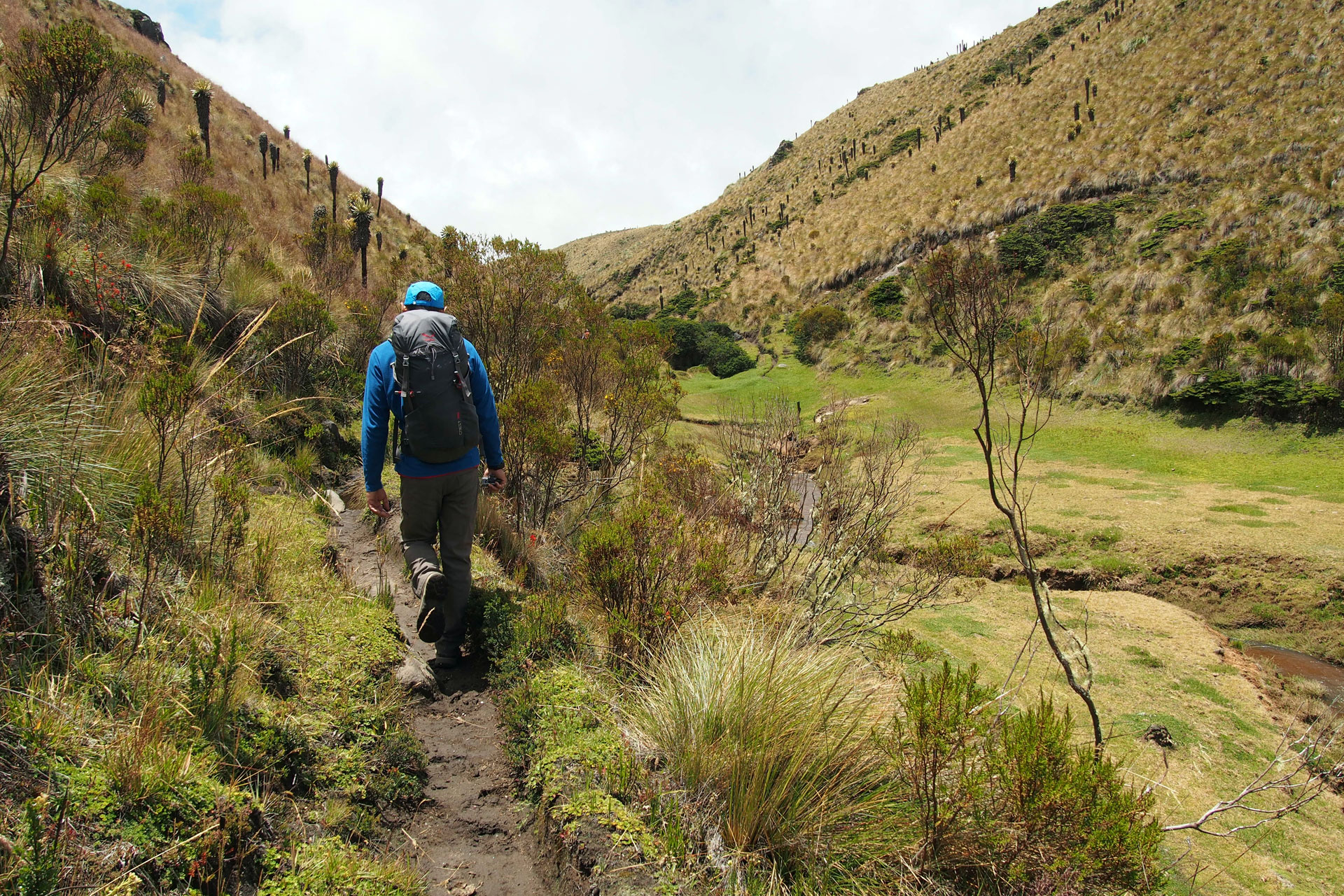
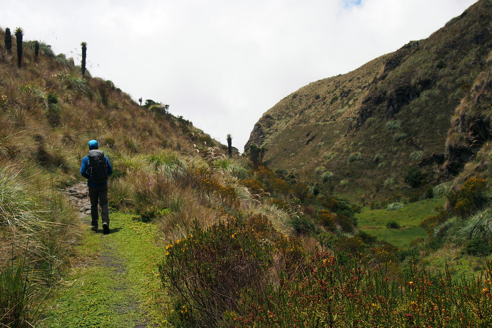
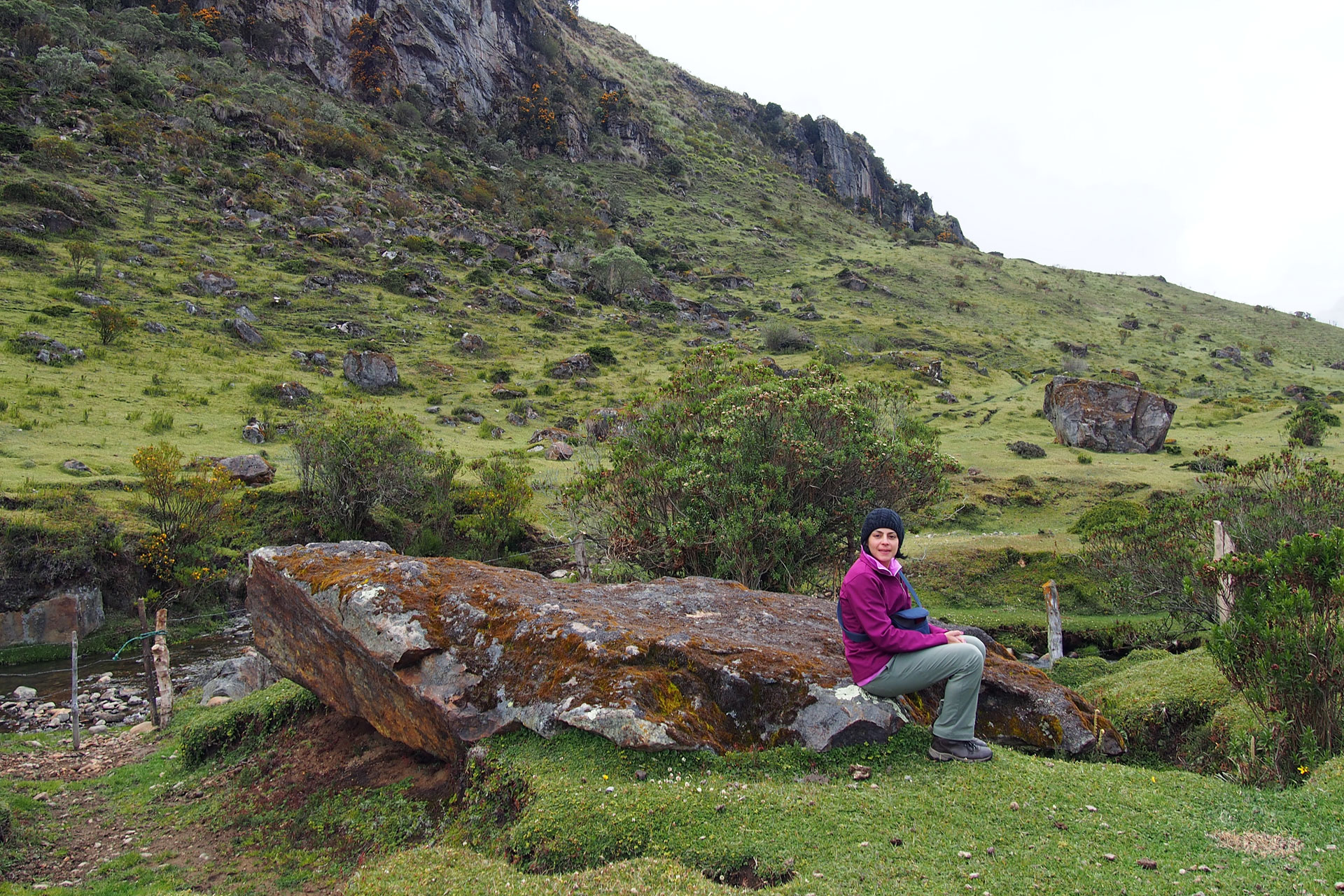
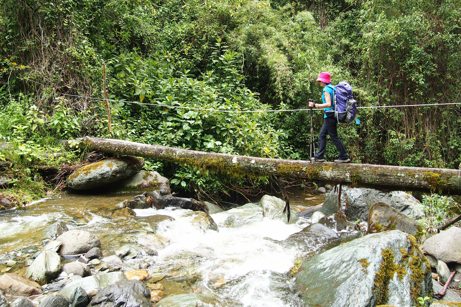
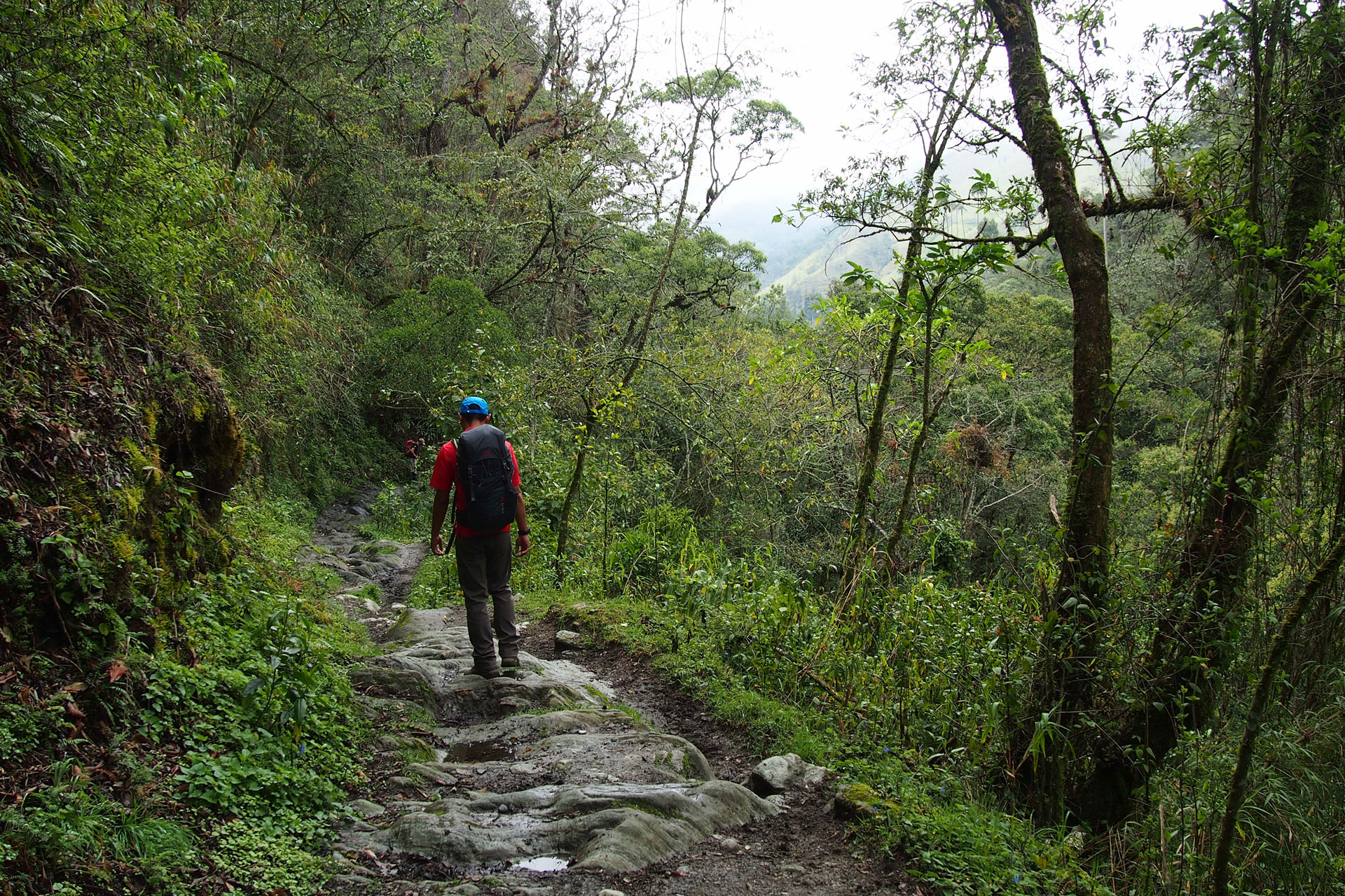
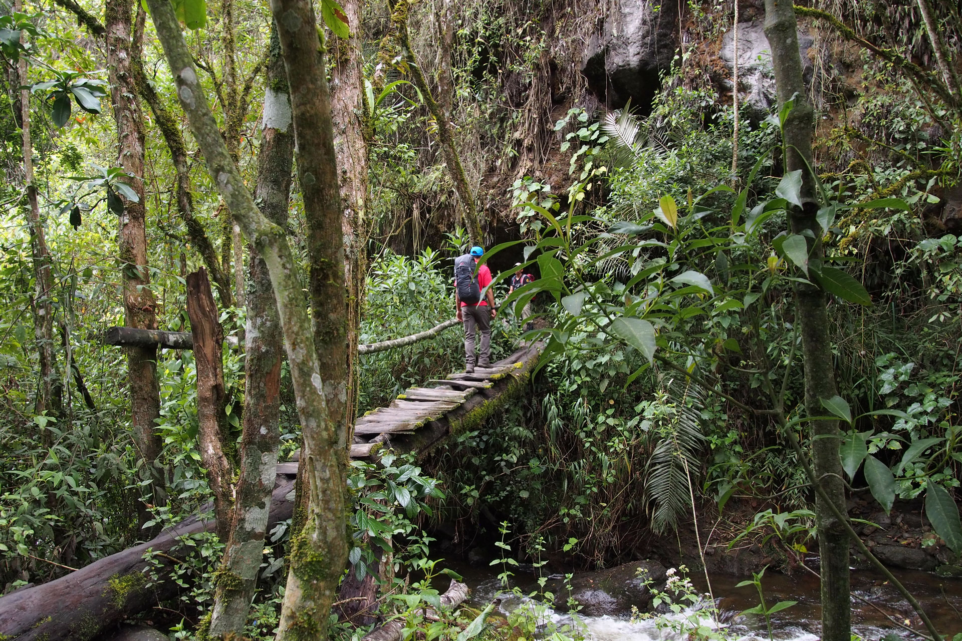
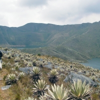
Today you start making your way south across Los Nevados National Park. You trek from Campoalegre and follow a wide mountainside trail with sweeping views of meadows and hills full of wild flowers. From the trail you see El Ruiz, the infamous and highly active volcano that killed 25,000 people when it erupted in 1985. After an hour or so you reach Laguna de Otun, a lake fed by the Santa Isabel glacier that you hiked yesterday. The lake sits at 3900 meters (12,795 feet) above sea level and is the source of the Otun River that supplies drinking water to the city of Pereira where you started this adventure. After enjoying the view of the lake and the waterfalls that feed it you leave the wide mountainside trail and follow a narrow path that takes you through a garden of exotic succulent plants. This is the beginning of your trek through the páramo. Your hike takes you across streams, along a mountain ridge, and down a valley. At one point you go through a natural tunnel created by the interlaced branches of gnarled siete cueros (seven skins) trees.
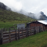
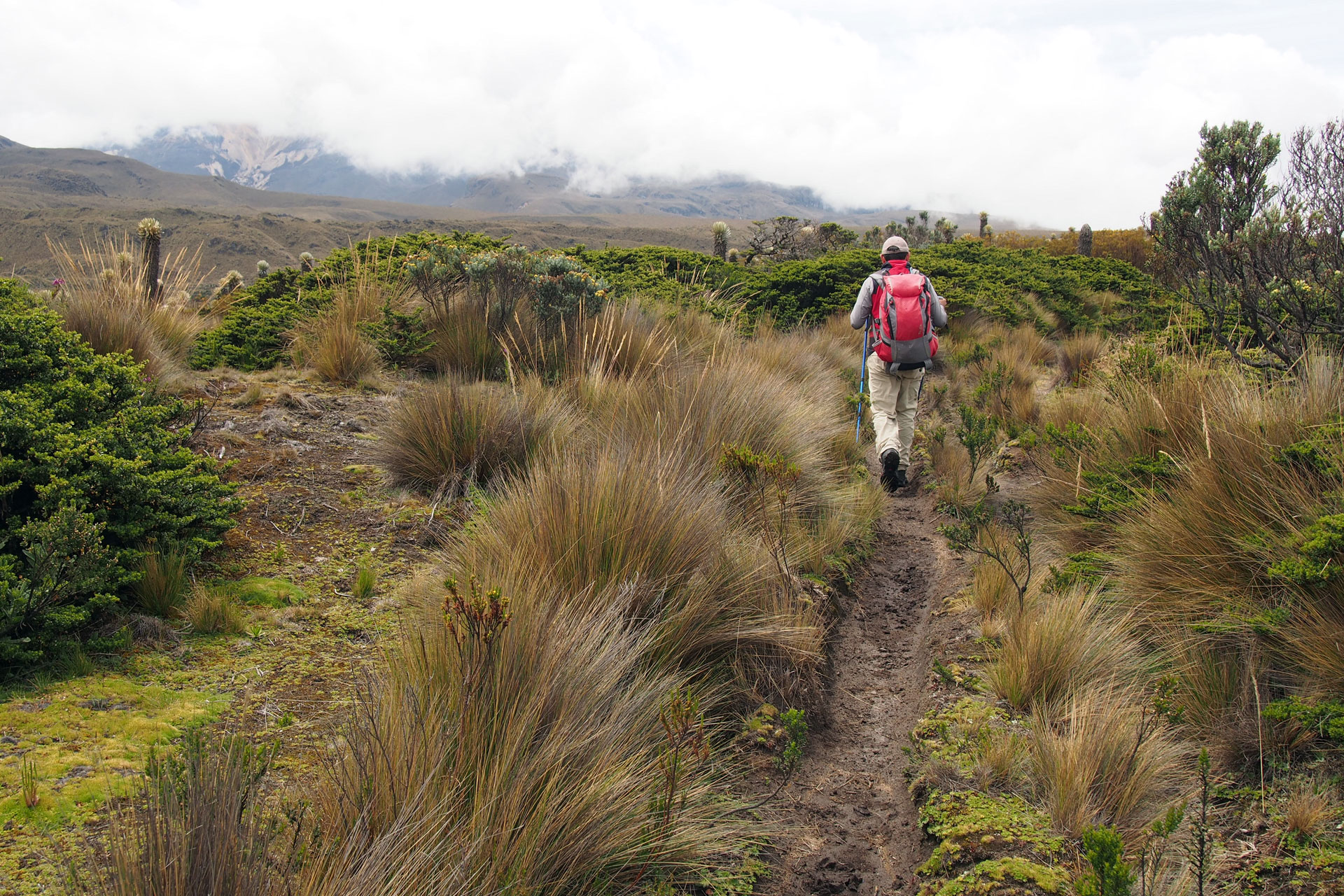
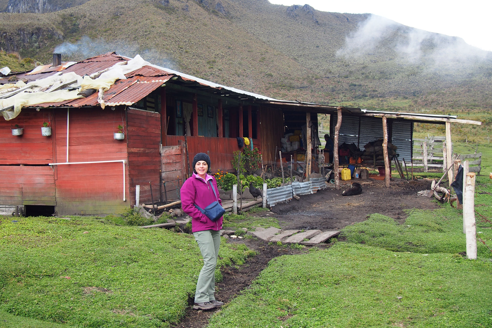
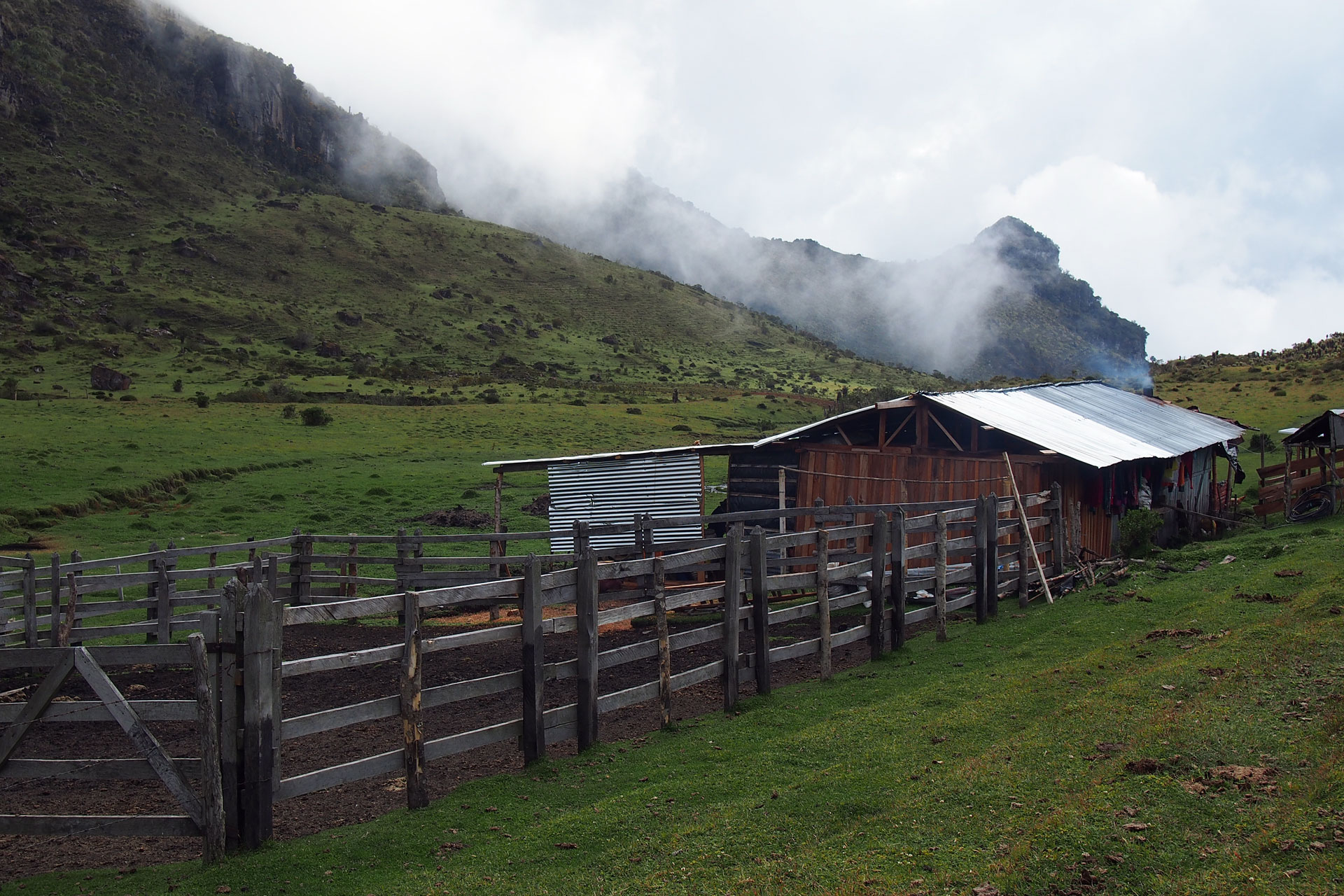
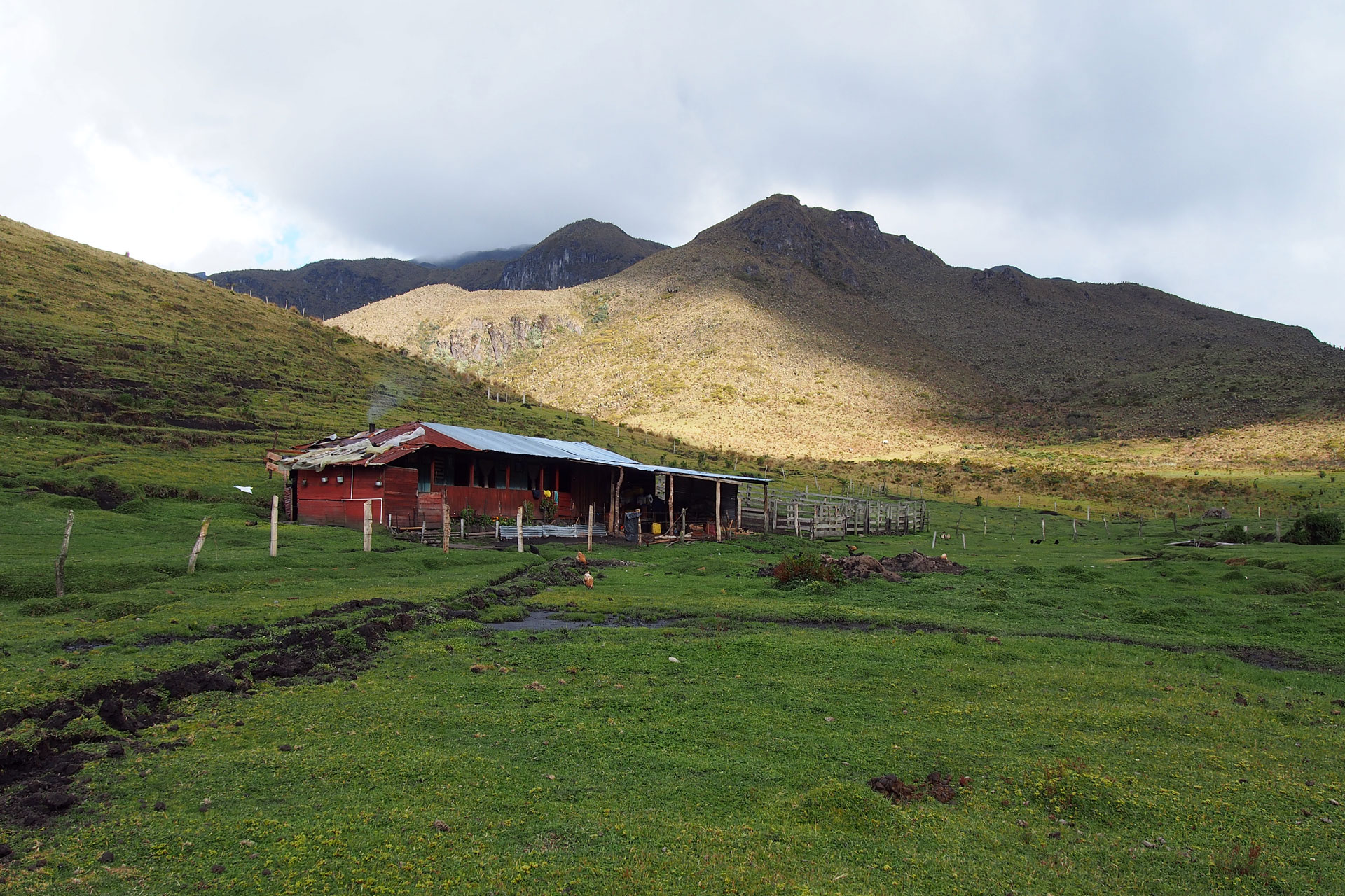
The toughest part of the day's hike comes near the end as you ascend a steep gully up a mountain before going down to the valley of Berlin where you spend the night at the farmhouse of your host family. The Berlin farm, at 3840 meters (12,598 feet), is picture perfect with its surrounding cliffs, stream, boulder-dotted fields and grazing farm animals. With another 13 kilometers (8 miles) under your belt you spend the evening gathered around a firewood stove relaxing and chatting with your hosts Diego and Maria.
-
Day 4: Tolima Volcano and the Cloud Forest
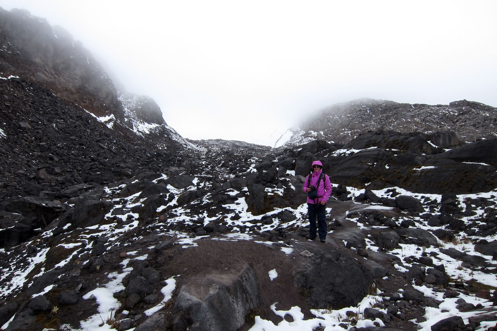
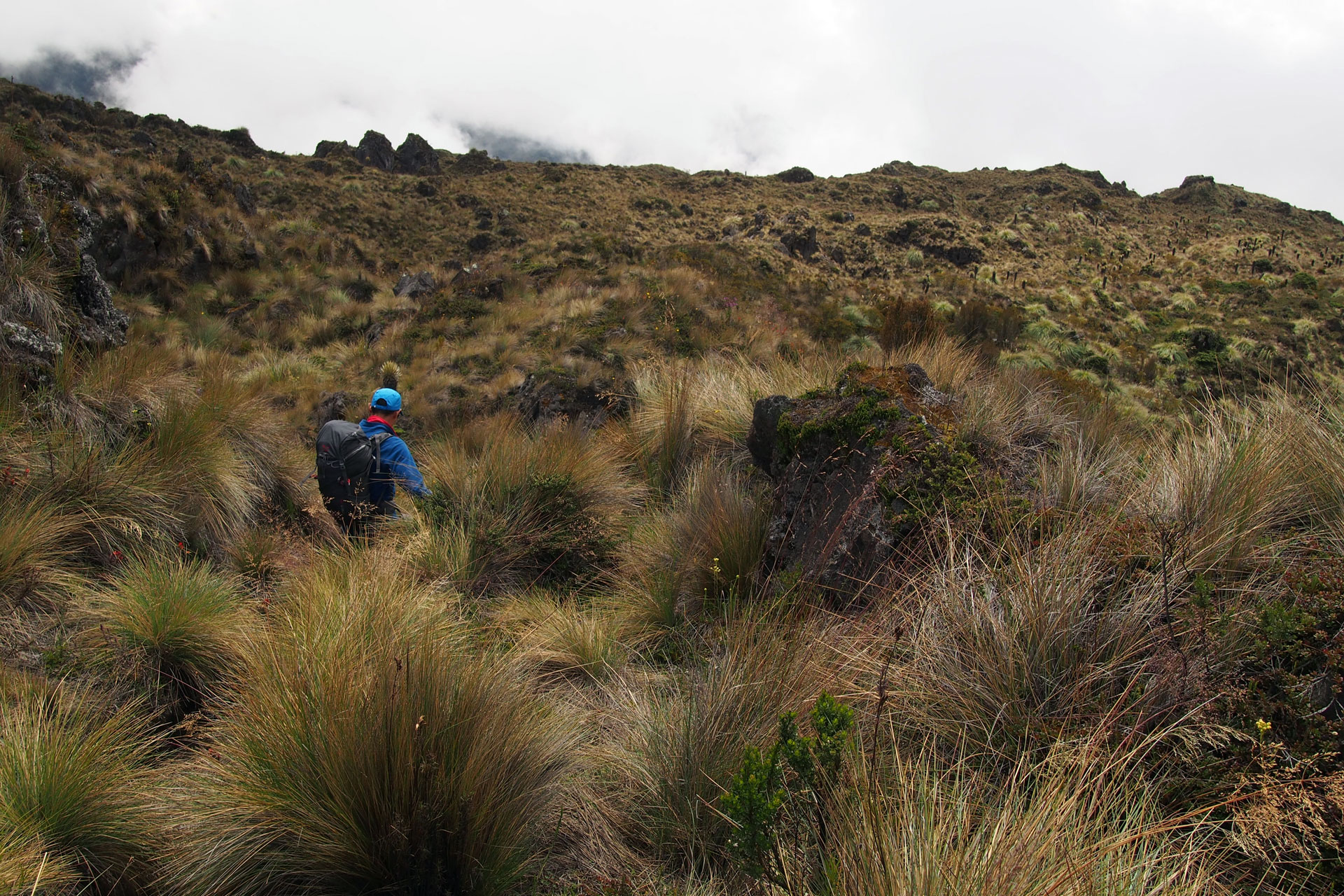
Today starts with a challenging ascent to the border of the Risaralda and Quindio departments. At 4300 meters (14,108 feet) this is the highest point of your trek outside of Nevado de Santa Isabel and from here you can see Nevado del Tolima. The rest of the day is a gradual descent and you leave the páramo to enter the cloud forest. At higher altitude the forest is less dense and the mountainside trail that you follow still affords open views of dark green valleys and rocky cliffs. In early afternoon you arrive at the Argentina farm at 3540 meters (11,614 feet). After lunch you hike to a waterfall. At this lower elevation the cloud forest is as rich as a rainforest and countless exotic birds and flowers bombard your senses with color and sound. After another 10 kilometer (6 mile) day you spend the night back at the Argentina farmhouse where you rack your brain trying to solve Don Javier's highly frustrating puzzle.
-
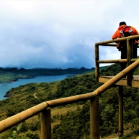
Day 5: The Wax Palm Forest and Cocora Valley
As you descend to the lowest part of the cloud forest the tallest trees emerge. The wax palms shoot 60 meters (200 feet) straight into air and loom over the surrounding fog and dense foliage. Orchids and bromeliads are also prevalent in this part of the forest. Your hike takes you across streams and over log bridges. As you near the end of your trek you enter the famous Cocora Valley where farmers have cleared the forest but left the wax palms standing, creating a dramatic landscape of tall trees standing in sharp contrast to grassy hills.
Your trek ends at a restaurant in Cocora Valley at 2300 meters (7546 feet) where you reward yourself with a well-deserved lunch (the specialty is rainbow trout and patacon). Today's 10 kilometers (6 miles) brings your total to 41 kilometers (25.5 miles). You've had the complete Los Nevados experience and can go home with a full camera and a full heart.
After lunch you visit the quaint town of Salento before driving to the Pereira airport.
Departures
This adventure is offered throughout the year. Contact us to schedule your Private Tour.
Price
Includes
- Private transportation (pick up and drop off at the Pereira airport).
- Accommodations.
- All meals from lunch of Day 1 to lunch of Day 5.
- Guiding service.
- Entrance fees.
- Mountaineering equipment (harness, rope, crampons) and sleeping bag.
Excludes
- Flights to and from Pereira.
- Personal trekking gear (backpack, boots, poles).
- Trail food.
- Travel insurance.
Reminders
- This entire adventure is at high altitude. You will sleep at 3930 meters (12,894 feet) in the first night and trek to 4950 meters (16,240 feet) on Day 2. We recommend acclimatizing in Bogota (2640 meters / 8660 feet) for at least 2 days prior to this trip to avoid altitude sickness.
- The physical demand of this trip is very high, with Days 2 to 5 each involving 6 to 10 hours of high altitude trekking on moderately hilly to steep terrain. You need to be very physically fit to go on this adventure.
- You will need to carry a backpack with trail water, trail food, sleeping bag and your personal belongings (clothes, personal medicine, etc.)
- Weather conditions do not always allow for reaching Nevado de Santa Isabel's high point. Your guide will determine whether it is safe to make an attempt.
Gallery

Check out our other offerings
-
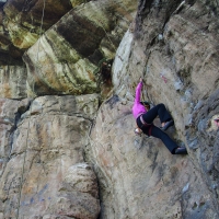
Private tour Suesca Rock Climbing Day Trip
Day tour from Bogota. Spend a day doing multi-pitch traditional routes and / or single pitch sport routes in Colombia's premier climbing destination. Private transportation from Bogota included.
-
Private tour Coffee and Mountains: Eje Cafetero and Los Nevados
Multiday trekking and nature tour. Experience the best of the Coffee Region's nature and culture. Visit a coffee farm in Chinchina. Trek the Santa Isabel glacier, páramos and cloud forests of Los Nevados National Park. Hike in the Otún Quimbaya Flora and Fauna Sanctuary and Cocora Valley, homes of howler monkeys, hummingbirds and the tallest palm trees in the world.
-
Private tour Siecha Lakes Day Hike
Day tour from Bogota. Hike through a páramo to spectacular mountain lakes that were the real El Dorado. Private transportation from Bogota included.
-
Private tour Chingaza Suasie Day Hike
Day tour from Bogota. Hike through Andean forests and páramos, on scenic ridgelines and through a marshland full of waterfalls in an area the Muisca people called the "House of the gods". Private transportation from Bogota included.